Circular hike Lumbrein
7 Bilder anzeigen
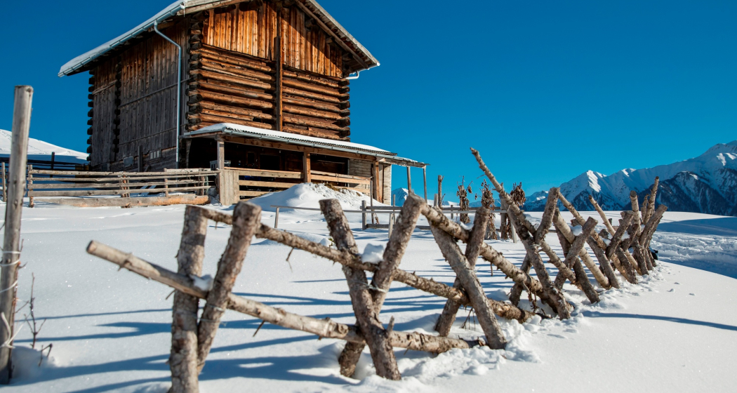
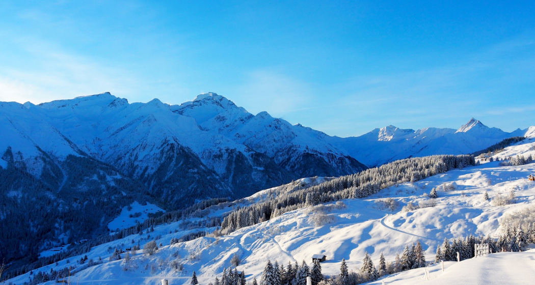
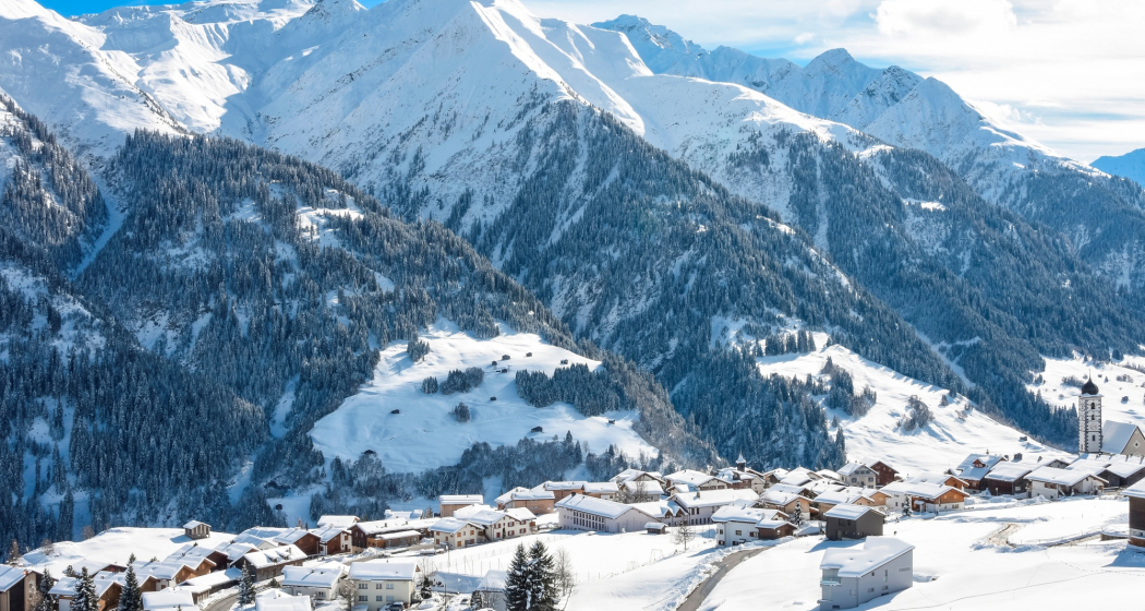
Beautiful circular hike through the Maiensäss landscape of Lumbrein and Vignogn.
Details
Beschreibung
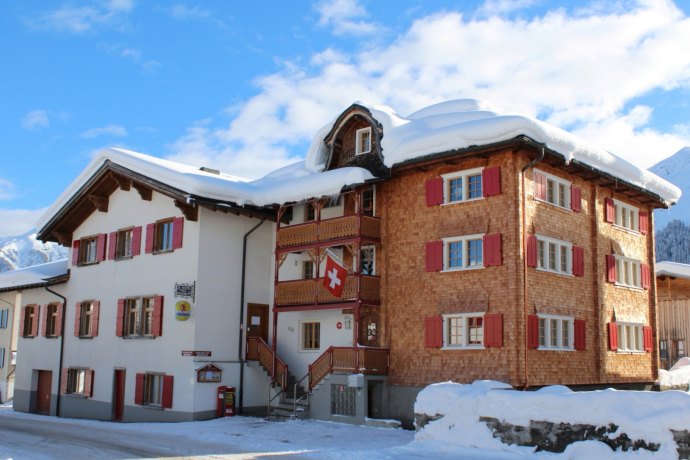
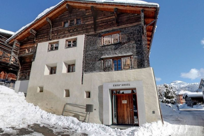
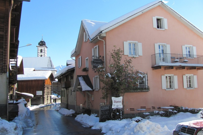
The hike first leads up mostly on a snow-cleared road towards Planezzas. Here the actual winter hike begins. On the well-prepared winter hiking trail, it goes up to Curschellas. From Curschellas, the path leads through the deeply snow-covered landscape over Rumassal down towards Vignogn. Above the village, the path turns right, steadily rising slightly, then goes back to Lumbrein.
See also
Surselva Tourismus AG
Info Lumnezia
Palius 32 D
CH-7144 Vella
Tel.: 0041 81 931 18 58
E-mail: vallumnezia@surselva.info
Internet: www.surselva.info
Geheimtipp
Bring a sled. Some sections are very nice for sledding.
Sicherheitshinweis
The route should be avoided in uncertain weather conditions. Weather changes in the mountains are frequent. If a bad weather front or similar arises during the hike, you should turn back in time. We also advise against hiking in dense fog.
Ausrüstung
High and sturdy hiking boots or winter boots, warm clothing, sun protection, hiking poles recommended.
Wegbeschreibung
Lumbrein - Curschellas - Rumassal - Pastais – Lumbrein
Anfahrt
Öffentliche Verkehrsmittel
PostBus line 90.441 Ilanz - Vrin, stop Lumbrein
During the winter season, the PostBus on the Ilanz – Vrin line as well as on other lines throughout the entire municipality of Lumnezia can be used free of charge by everyone.
Anreise Information
Parken
Limited parking options in Lumbrein. We generally recommend arriving by public transport.
During the winter season, the PostBus on the Ilanz – Vrin line as well as on other lines throughout the entire municipality of Lumnezia can be used free of charge by everyone.
Verantwortlich für diesen Inhalt Surselva Tourism.

Diese Webseite nutzt Technologie und Inhalte der Outdooractive Plattform.
