SSWR: 10 Meilen


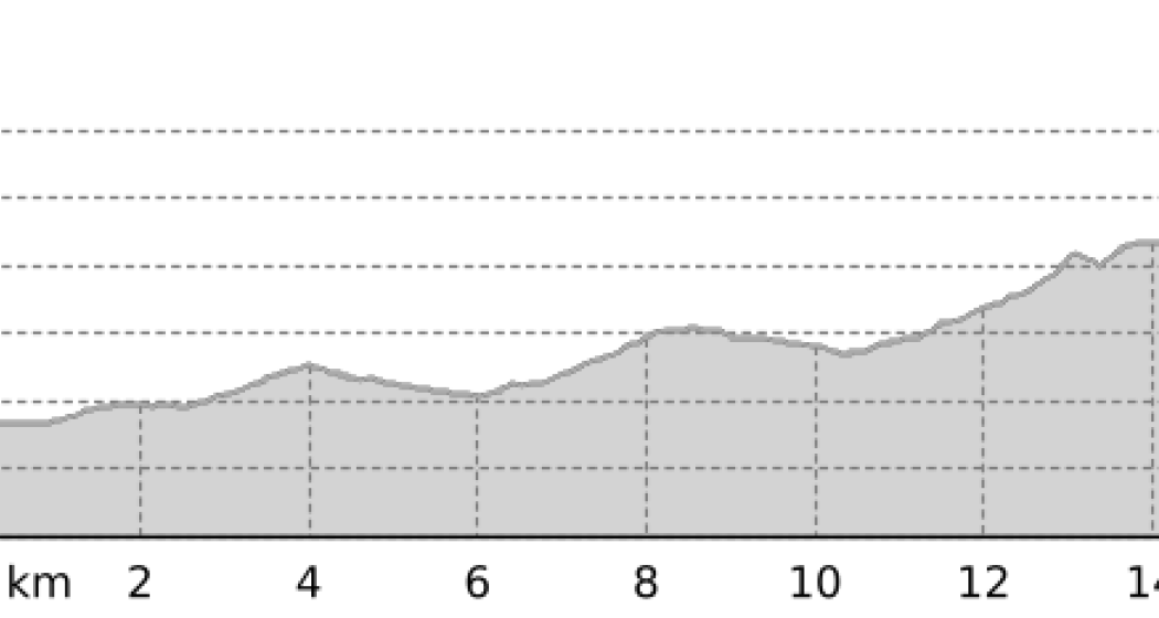
Weisshorn Trail: A challenging route where you run 100% on snow. On 16.8 kilometers it goes 1'185 up and 273 down.
Details
Beschreibung
The centerpiece: From the lake to the summit!
After a flat kilometer, the climb begins. Along the Eichhörnliweg and via Scheitaboda we continue to Prätschli, where there is a bus stop and a hotel. From here, the path leads back down to the Scheitaboda and from there up to the Tschuggenhütte via KuhBar, where in winter après-ski is really busy. Past the Arosa Bear Land and through the Arlenwald there is a comparatively easy section to General Guisan Platz. From now on, the altitude meters add up with practically every step. The finish is long in sight, but the route is dragging on. At the Sattelhütte the last forces are mobilized. The final kilometre is extremely steep and seems endless. On the Weisshorn, which is located 2,649 meters above sea level, there is an impressive panorama to see as a reward.
Anfahrt
Öffentliche Verkehrsmittel
The Rhaetian Railway runs hourly from Chur to Arosa (also in the opposite direction). From Arosa train station it is a short walk of about 300 meters to the competition area
Anreise Information
From Chur over the winding Arosa road to the end of the valley to Arosa.
Parken
In Arosa, you can park your car directly at the Wetkkampfgelände in the Ochsenbühl multi-storey car park.
Further information on parking facilities in Arosa can be found under arosa-parking.com.
Verantwortlich für diesen Inhalt Arosa Lenzerheide.
Dieser Inhalt wurde automatisiert übersetzt.

Diese Webseite nutzt Technologie und Inhalte der Outdooractive Plattform.


