2 village trail 442


7 Bilder anzeigen

Details
Beschreibung
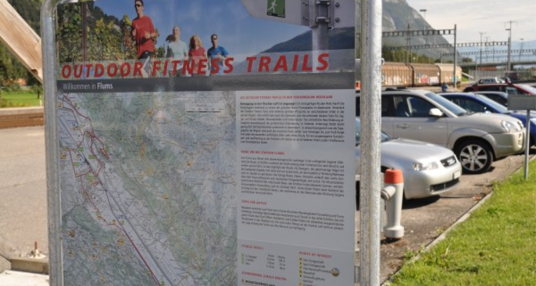
The Outdoor Fitness Trails in the Heidiland vacation region comprise over 30 uniformly signposted running trails from a total of 10 stations, forming one of the largest outdoor fitness parks in the Alps. The 2-Dörfer-Trail is one of three running trails around Flums station.
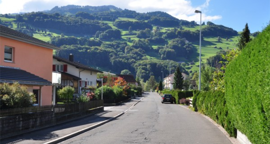
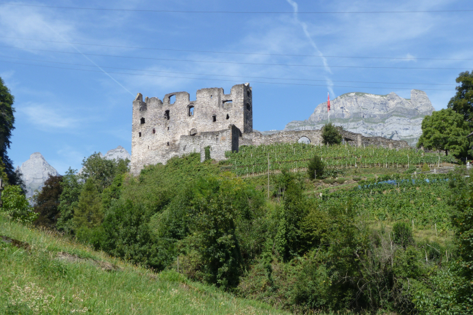
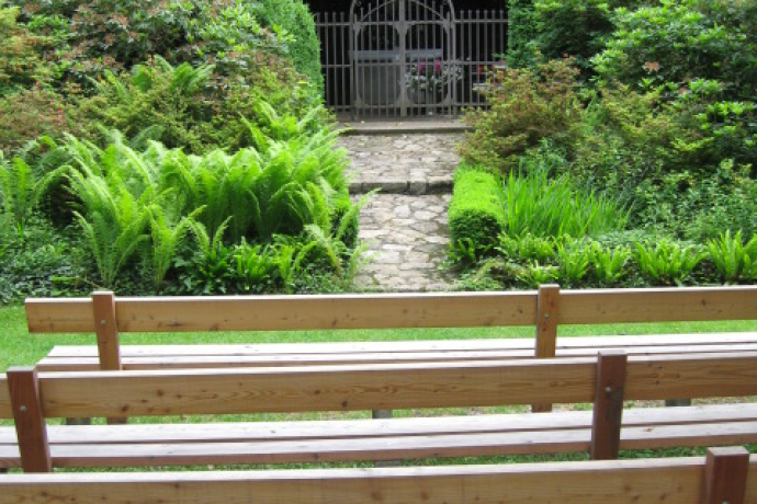
The starting point for this 7.8 km long trail is the Flums station info point at the station parking lot (451 m above sea level). Still at the station, before the bridge over the Seez, all three trails turn right onto the sidewalk along the stream until the next little bridge. After crossing this, the trail continues through a residential area in the direction of the football pitch. Only here do the trails separate. The 2-Dörfer Trail and the St. Georgen Trail continue behind the football pitch on a footpath along the Schils stream - with wonderful views of the Gräpplang castle ruins, the surrounding vineyards and the imposing Churfirsten mountains. At the ARA (436), the trails follow a tarred road that leads over the railroad bridge in the direction of Berschis. After the overpass, the trails separate. Even before the highway overpass, the 2-village trail turns left towards Maienriet and Tscherlach - always with the imposing Churfirsten mountains in sight, past fruit trees, meadows and fields. As soon as you reach the village of Tscherlach (435), the trail turns right towards the main road. Shortly before you reach it, the trail continues on a paved footpath along the Tscherlerbach stream to - and through the middle of - the idyllic village of Berschis (444). On this section, you always have a wonderful view of the St. Georgen chapel, which towers high above the village. At the end of the village, you meet up with the St. Georgen Trail again. Together, the trails reach the highway underpass in the middle of the industrial zone between Flums and Walenstadt, which leads you back to the info point at the train station parking lot in Flums.
Geheimtipp
Most of the Outdoor Fitness Trails run along official hiking trails. The hiking trail signage therefore also helps with orientation along the way.
At the end of the Bachsandweg trail there is an information point about the impressive Berschner Falls. It is well worth a detour. The path is signposted.
Sicherheitshinweis
Ausrüstung
Wegbeschreibung
Anfahrt
Öffentliche Verkehrsmittel
Anreise Information
Parken
Verantwortlich für diesen Inhalt Heidiland Tourism Ltd..

Diese Webseite nutzt Technologie und Inhalte der Outdooractive Plattform.


