606 Churwaldner Panorama-Tour


9 Bilder anzeigen

Details
Beschreibung
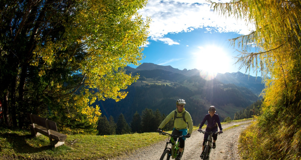
It's a pleasant start to the tour at the Churwalden information office as we head off in the direction of Chur to the monastery at the edge of the village of Churwalden. From there the first short climb along a good forestry track leads up through the Chlosterwald forest. The tour continues above the cantonal road through the small settlements of Oberhus and Spina to Malix. Next up is a steady uphill section some 7 km long on an asphalted road, past the village of Brambrüesch to the Malixeralp. It is well worth the effort as from here on a beautiful panoramic route takes us back to Churwalden along a single trail and forest tracks via Galtialp and Bärenalp through the Pradaschierer forest. Those looking for a fast-paced descent of a different kind will take the short detour from Bärenalp to Pradaschier and the world's longest toboggan run.
Wegbeschreibung
Anfahrt
Öffentliche Verkehrsmittel
Anreise Information
Parken
Verantwortlich für diesen Inhalt Graubünden Ferien.


