
697 Salisweg from Seewis to Malans
4 Bilder anzeigen
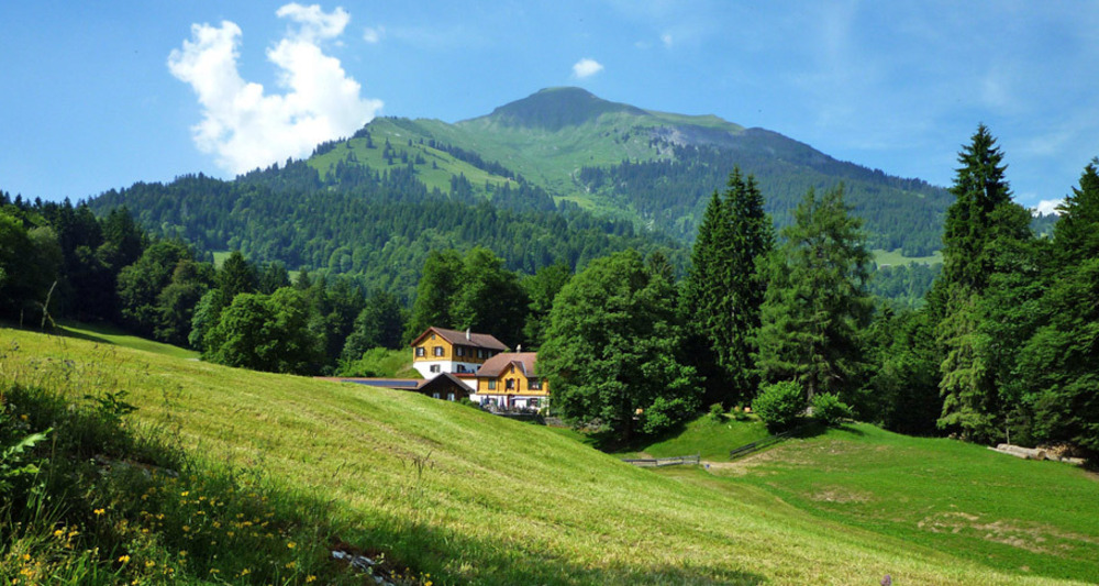
Historically interesting hike from Seewis over the magnificent viewpoint Fadära down to the wine village Malans.
Details
Beschreibung
On the Salisweg, you will learn a lot of interesting facts about Johann Gaudenz von Salis-Seewis and his time, while also experiencing a piece of blissful nature.
Wegbeschreibung
The Salisweg connects the villages of Malans and Seewis on an 8.5 km long, continuously marked hiking trail. The ascent to the highest point of the hike, the Fadärastein, is 611 meters from Malans and 232 meters from Seewis. The Fadärastein offers an incomparable view into the Rhine Valley. At a total of 9 points, information boards about the life and time of Johann Gauden von Salis-Seewis are available. Additionally, a total of five buildings related to him are specially marked.
Anfahrt
Öffentliche Verkehrsmittel
Anreise Information
Parken


Verantwortlich für diesen Inhalt Prättigau Marketing.

Diese Webseite nutzt Technologie und Inhalte der Outdooractive Plattform.