Access Fanüllatobel

In the Bruchhalda area, the corresponding local detour must be taken into account.
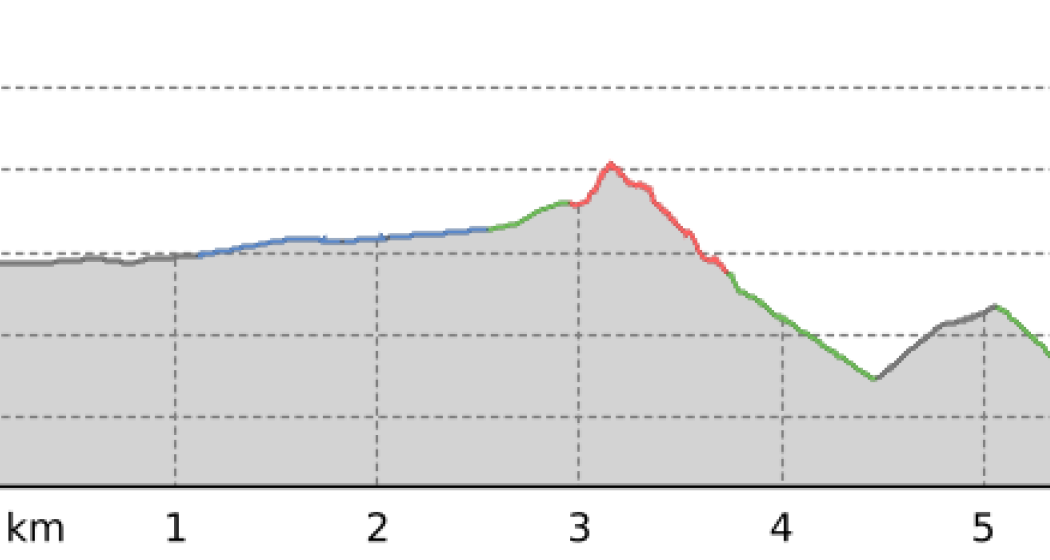
This short but steadily ascending access route serves as a feeder to the popular Fanüllatobel Trail - a technically challenging single trail for experienced bikers.
Details
Beschreibung
The route begins in Parpan. From there, follow the alpine road in an easterly direction. The surface is easy to ride on - mainly natural surface and forest road. The official start of the Fanüllatobel Trail is reached after around 6.2 km and 104 m of ascent.
Sicherheitshinweis
Mountain biking in alpine terrain involves risks.
- Important emergency numbers are:
- 144 Emergency call, first aid
- 1414 Mountain rescue REGA
- 112 International emergency number
The Bike Kingdom has a place for everyone. Be a bike knight and respect trail tolerance. Hikers and bikers share the trails and show consideration for each other.
Ausrüstung
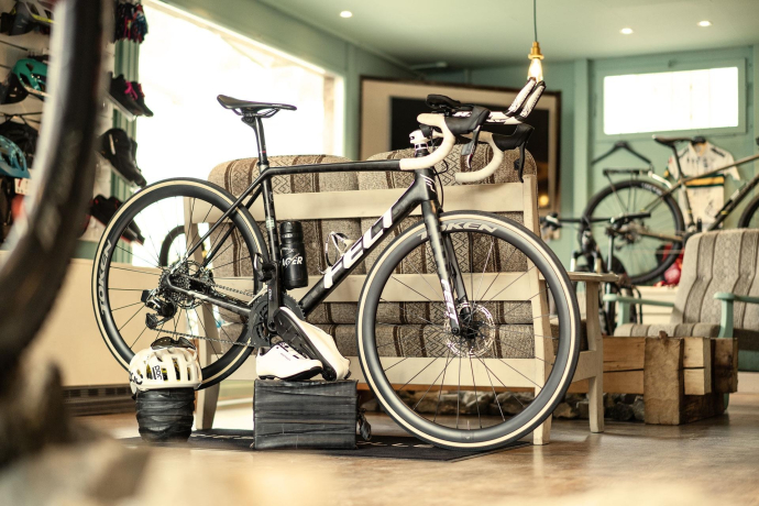
Wear your armor! Helmet, protectors and bike gloves are standard equipment. You will also be glad to have sun and rain protection and something to drink.
Anfahrt
Öffentliche Verkehrsmittel
Arrival from Chur with the post bus line 182 to Parpan
Anreise Information
Approach via the A13 to Chur, from there via cantonal road 3 to Parpan.
Parken
In the village center of Parpan
Verantwortlich für diesen Inhalt Arosa Lenzerheide.

Diese Webseite nutzt Technologie und Inhalte der Outdooractive Plattform.


