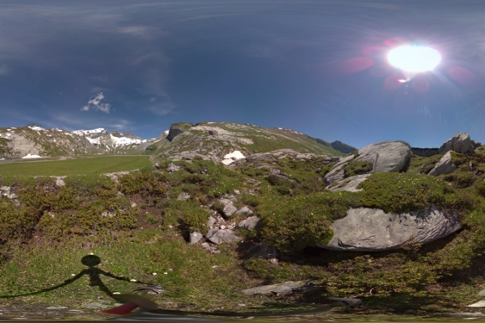
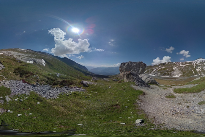
Adventure Flims - Flimser Bergsturz

Leicht
0.9 km
0:20 h
60 Hm
12 Hm
Adventure Flims - Flimser Bergsturz

4 Bilder anzeigen

Adventure Flims - Flimser Bergsturz
What happened 10,000 years ago....
Technik /6
Kondition 2/6
Höchster Punkt  2149 m
Tiefster Punkt  2090 m
Beste Jahreszeit
Jan
Feb
Mär
Apr
Mai
Jun
Jul
Aug
Sep
Okt
Nov
Dez
Start
Sardona Hut
Ziel
Sardona Hut
Koordinaten
46.867519, 9.239915

Details

Beschreibung

A research trip to impressive geology and its diverse phenomena in the tectonic arena Sardona. We learn a lot about the formation of the Alps, the 'magic dividing line', the occurrence of typical rock layers and the retreat of the Sardona glacier.

With the Sardona app, you can experience this adventure live and access all the information about the different waypoints on the go. The linked points (POI 1 to POI 6) can be found in the directions.

Google Play

App Store

Geheimtipp

The Segneshütte, as one of the oldest mountain huts in the region at an altitude of 2100 meters, is located in the middle of the UNESCO World Heritage Site "Tectonic Arena Sardona". It is considered a meeting place for hikers and skiers on their routes and offers homemade Graubünden specialities as well as a spacious sun terrace and overnight accommodation.

Sicherheitshinweis

On the white-red-white marked route, sure-footedness is required, the sometimes steep terrain requires caution – always supervise children – accessible only in the snow- and ice-free season

Ausrüstung

Sturdy hiking boots, rain cover, water bottle

Anfahrt

Öffentliche Verkehrsmittel

By (post) car to Flims Bergbahnen then by Flemxpress to the Segneshütte

Parken

Parking available at Flims Bergbahnen

Verantwortlich für diesen Inhalt UNESCO-Welterbe Tektonikarena Sardona.
Dieser Inhalt wurde automatisiert übersetzt.

Outdooractive Logo

Diese Webseite nutzt Technologie und Inhalte der Outdooractive Plattform.