Adventure «La Mutta - Tranter tschiel e terra»
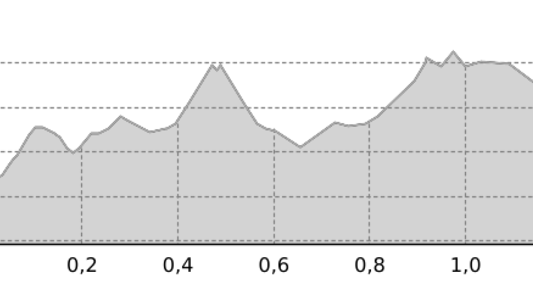
1.3 km
0:25 h
32 Hm
24 Hm


3 Bilder anzeigen

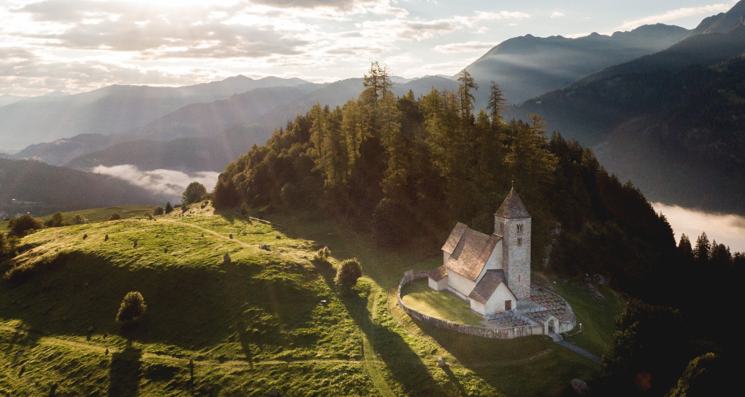
A narrative journey to the megalithic site near Falera.
Beste Jahreszeit
Jan
Feb
Mär
Apr
Mai
Jun
Jul
Aug
Sep
Okt
Nov
Dez
Start
Falera
Ziel
Falera
Koordinaten
46.799641, 9.233086
Details
Beschreibung
The place as a historical centre and cultural site between mysticism and science from the point of view of the long-standing park guides Ignaz Cathomen and Priska Cathomen.
TIPS
Safety & Equipment
Surefootedness is required on the white-red-white marked trail.
Important tips
- the sometimes steep terrain requires caution
- Always supervise children
- Do not leave the mountain trail
Equipment
- sturdy hiking boots
- rain protection
Use of the trail is at your own risk. Insurance cover is the responsibility of each individual.
Anfahrt
Öffentliche Verkehrsmittel
Bus to Falera
Anreise Information
On the Autobahn A13 from Zürich till exit Flims, further to Falera
Parken
Parkinglot falera at the beginning of the village
Verantwortlich für diesen Inhalt Flims Laax Falera Management Ltd..

Diese Webseite nutzt Technologie und Inhalte der Outdooractive Plattform.