Alp Languard - Paradis Hut - Pontresina
14 Bilder anzeigen
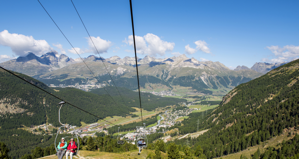
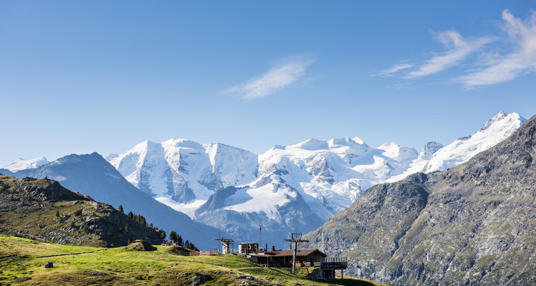
On this leisurely route, you first take the chairlift up to Alp Languard (2326 m above sea level).
Details
Beschreibung
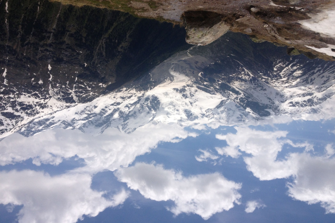
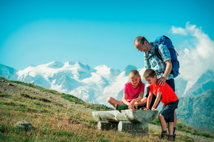
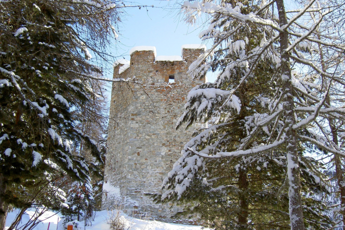
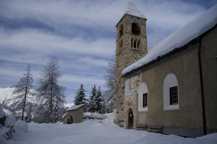
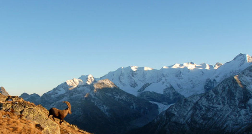
The hike leads from Alp Languard into Val Languard. Carrying binoculars is almost a must, as there is plenty to observe in this valley. Marmots enjoying the sun and, with some luck, even ibex that have been resettled here at Piz Albris (3166 m above sea level). The path follows along the stream, which ends near a fork deep in the valley. The walk towards Paradis Hut (2540 m above sea level) should be rewarded with a piece of cake. After this wonderful refreshment, the path leads along the ridge, past some magnificent viewpoints with views of the beautiful Bernina Massif. From the tree line, the zigzag forest trail, named after Prof. C.W. Röntgen, descends back towards Pontresina. The hike ends at the two cultural highlights: the Church of Santa Maria and the Spaniola Tower.
Further information
Engadin Tourism AG
Via Maistra 1
CH-7500 St. Moritz
Phone: +41 81 830 00 01
E-mail: allegra@engadin.ch
Internet: www.engadin.ch
Geheimtipp
Discover the ibex paradise Pontresina. www.pontresina.ch/steinbock-paradies
Those who do not want to hike steeply down take the chairlift back to the valley.
Wegbeschreibung
Pontresina - Alp Languard - Paradis Hut - Röntgen Trail - Giarsun - Pontresina
Anfahrt
Öffentliche Verkehrsmittel
Verantwortlich für diesen Inhalt Engadin Tourismus AG.

Diese Webseite nutzt Technologie und Inhalte der Outdooractive Plattform.

