
Chamues-ch - Zuoz - San Bartumieu
6 Bilder anzeigen
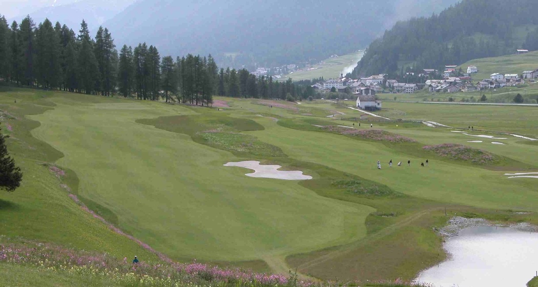
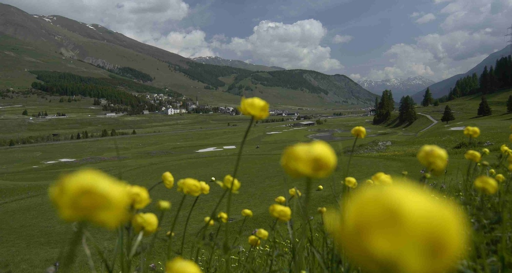
This easy hike lets you immerse yourself in the Engadin nature. The San Bartumieu floodplain landscape between Zuoz and Madulain has been included in the Federal Inventory of Landscapes and Natural Monuments of National Importance.
Details
Beschreibung
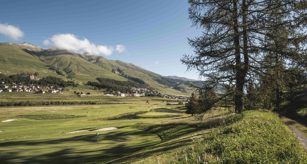
The start and finish is the village square of Chamues-ch. After the Romanesque church San Andrea from the 13th century, the route turns left towards Zuoz into the fragrant woods. Short ascents and descents with changing views of the golf course and the family ski area of Zuoz lead to Zuoz La Resgia. A short stretch on asphalt and across the Inn bridge leads to the orographically left side of the Inn. The relaxing path to Madulain crosses the San Bartumieu floodplain landscape, which is included in the Federal Inventory of Landscapes of National Importance. In Madulain, the smallest municipality of Upper Engadin, you pass typical Engadin houses. At the end of the village, the circular route bends under the road bridge and through the fields towards Chamues-ch, where you reach the village square again.
Further Information
Engadin Tourismus AG
Via Maistra 1
CH-7500 St. Moritz
Phone: +41 81 830 00 01
E-mail: allegra@engadin.ch
Internet: www.engadin.ch
Wegbeschreibung
Chamues-ch, village square - San Andrea church - Pradatsch - Center Sur En Zuoz - San Bartumieu - Madulain - Punt da Sass - Chamues-ch - Chamues-ch, village square
Anfahrt
Öffentliche Verkehrsmittel
Parken


Verantwortlich für diesen Inhalt Engadin Tourismus AG.

Diese Webseite nutzt Technologie und Inhalte der Outdooractive Plattform.