Chlei Venice (Rätikon East)


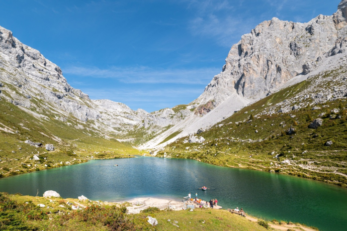
"Chlein Venice": very beautiful, much-visited climbing area above Lake Partnunsee with some extraordinarily water-eaten rock. The water grooves, which are very deep in some places, often carry water. However, the 20 or so routes are mostly on the dry side and all that remains is the romantic splashing next to the climbing.
Please note: Diversion due to construction and maintenance work
As a result of the renovation of the Carschineralpbach bridge and thunderstorm damage, the hiking trail from Hinter Zug / Chüeschärmen to Schlosseri is closed. A diversion via the road is signposted and is valid until 26.09.2025.
Details
Beschreibung
Joy reigns (5), unexploded ordnance (7), Altwiibersummer (5+) and Grand Canal (6) are frequently walked. The routes can also be combined with the Gruobenflüeli.
Sicherheitshinweis
They are personally responsible for your safety! You use the routes at your own risk - creators disclaim any liability. Insurance coverage is a matter for each individual.
Ausrüstung
The amount of climbing equipment required depends, among other things, on the route to be completed. For the most part, the climbing guides deal with the required additional material that needs to be taken along with the exact route.
Anfahrt
Öffentliche Verkehrsmittel
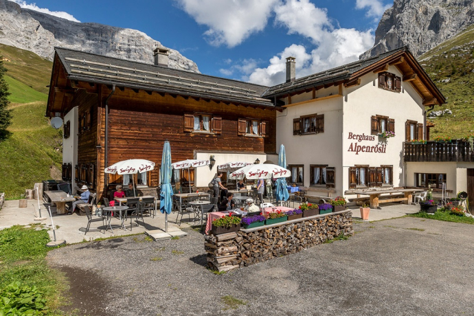
With the Rhaetian Railway RhB to Schiers (90.218) or Küblis (90.222) and with the PostBus to St. Antönien. Some of the courses go to the stop Sagaris / Garstett below Partnun Staffel, the remaining courses to St. Antönien Platz (village). From St. Antönien Sagaris you can use the Bus alpin (reservation required) to the Berghaus Alpenrösli (minus 0.5 hours walking time).
Anreise Information
Take the A13 motorway to Landquart. Take exit 14 and take the N28 national road towards Landquart, Davos, Vereina. Leave the national road in Küblis in the direction of St. Antönien, Conters, Küblis. Follow the mountain road to St. Antönien, then drive in the direction of Partnun.
Parken
In St. Antönien all parking spaces are subject to a charge. In the car parks you can pay with cash, Parkingpay-App, Easy-Park or TWINT. The last car park P6 with day ticket is located below Partnunstafel, about 3.5 km outside of St. Antönien.
Verantwortlich für diesen Inhalt Prättigau Marketing.
Dieser Inhalt wurde automatisiert übersetzt.

Diese Webseite nutzt Technologie und Inhalte der Outdooractive Plattform.


