Crest da Tiarms
Geschlossen
Mittel
13.6 km
5:05 h
299 Hm
1296 Hm


12 Bilder anzeigen

A scenic mountain hike along the edge of the ski area.
Beste Jahreszeit
Jan
Feb
Mär
Apr
Mai
Jun
Jul
Aug
Sep
Okt
Nov
Dez
Start
Crap Sogn Gion
Ziel
Falera
Koordinaten
46.83514, 9.215049
Details
Beschreibung
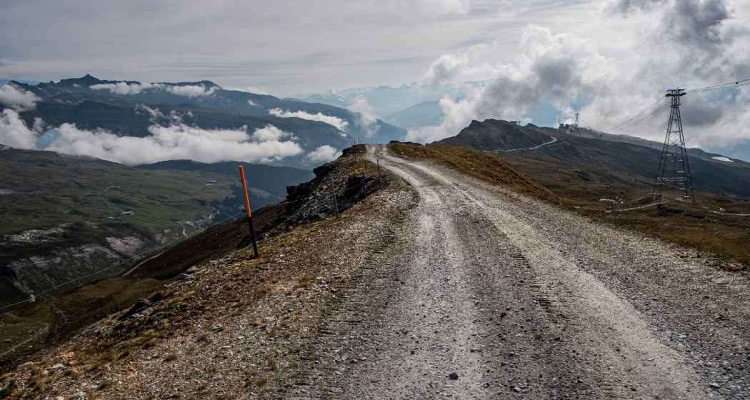
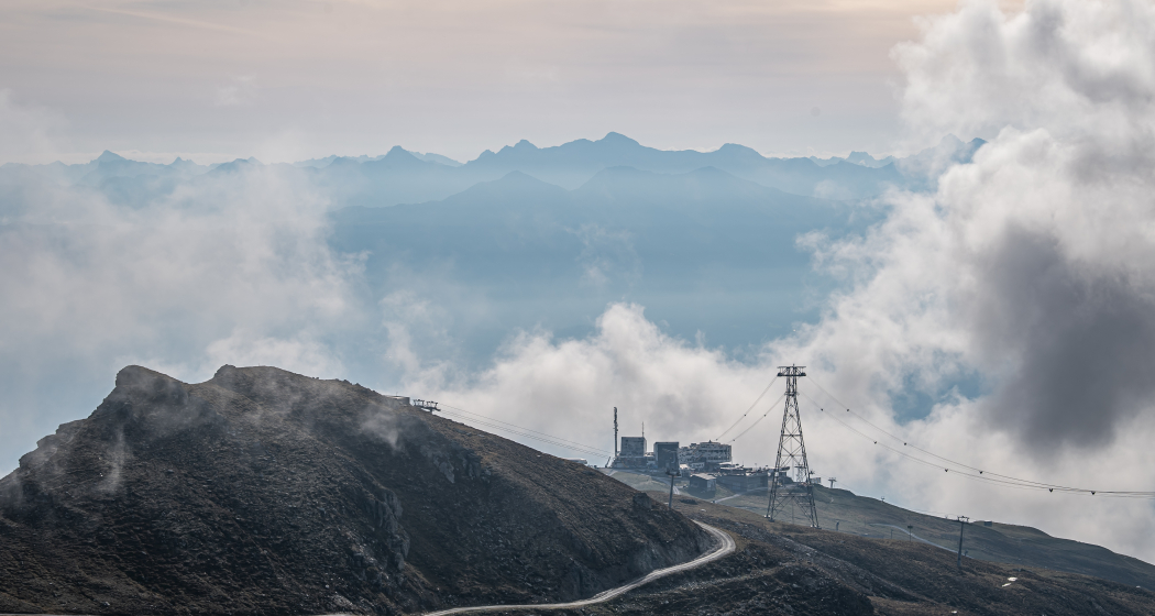
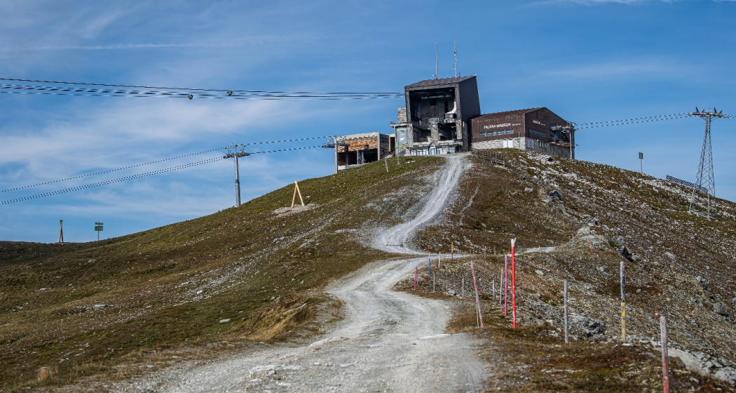
The gondola takes you up to Crap Sogn Gion, from where wide paths lead up to Crap Masegn. After an initial downhill section and a final small climb, you will reach the Crest da Tiarms, the perfect vantage point with far-reaching views of the Surselva. The hiking trail at the top of the ridge is very scenic and makes you feel on top of the world.
Shortly before the tree line you follow the path towards Alp Dadens. The last stage to Falera leads across lush alpine meadows.
Wegbeschreibung
Crap Sogn Gion - Crap Masegn - Crest da Tiarms - Alp dadens - Falera
Anfahrt
Öffentliche Verkehrsmittel
By post bus from Chur or by bus from Flims/Laax/Falera.
Stop: Laax Bergbahnen
Crap Sogn Gion cable car
Anreise Information
By car A13 motorway to Chur, exit 18 Flims.
Parken
underground carpark Laax Rocksresort
Verantwortlich für diesen Inhalt Flims Laax Falera Management Ltd..

Diese Webseite nutzt Technologie und Inhalte der Outdooractive Plattform.