
Cufercal Panorama Trail

5 Bilder anzeigen
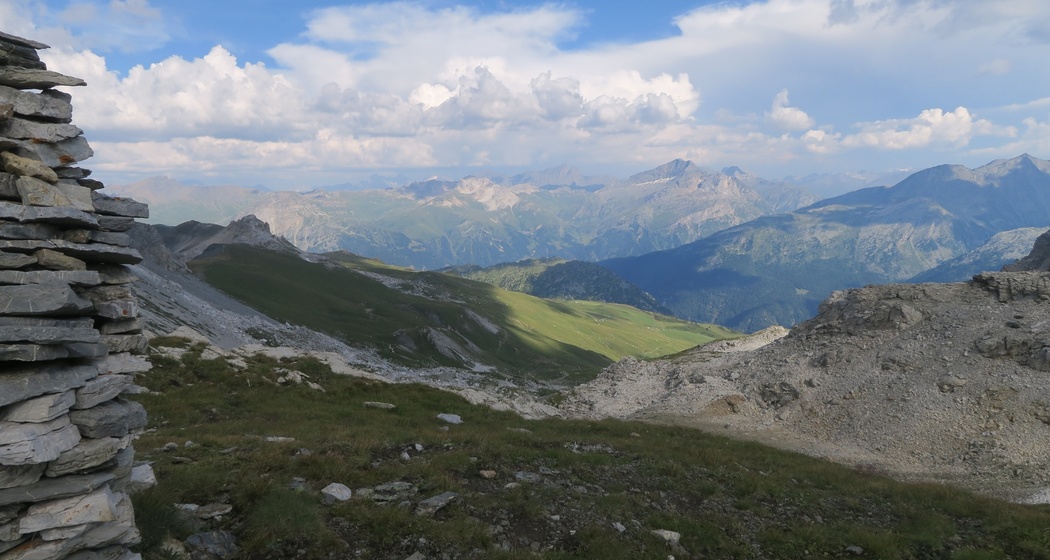
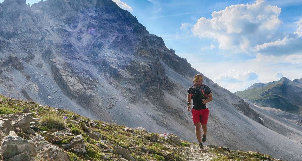
Intensive but scenic route from the Tguma parking lot via the Farcletta digl Lai Pintg past the Cufercalhütte SAC back to the starting point.
Details
Beschreibung
The moorland in the Anarosa area is one of 89 Swiss moorlands that are included in the inventory of moorlands of special beauty and national importance. The route starts in Tguma and, after a short downhill at the beginning, ascends towards Lai Grand and up to the Farcletta dil Lai Pintg. This is followed by an attractive descent past the Cufercalhütte SAC to Promischur. From here, the scenic route climbs about 500 meters in altitude again until reaching the starting point Tguma.
Geheimtipp
By Bus Alpin to the Tguma parking lot.
Alternative starting point: Lai da Vons (accessible from Sufers with the hiking bus)
Ausrüstung
Trail running shoes, backpack with drink (water or energy drink), food (bars, gels), windbreaker, mobile phone and emergency kit.
Wegbeschreibung
Tguma – Lai Grand – Farcletta digl Lai Pintg – Cufercalhütte SAC – Promischur – Tguma
Anfahrt
Öffentliche Verkehrsmittel
Wergenstein is reachable by PostBus. Timetable information at www.sbb.ch
The starting point Tguma is reachable by Bus Alpin. Timetable at www.busalpin.ch
The alternative starting point Lai da Vons is accessible from Sufers by the hiking bus
Anreise Information
The starting point Tguma is accessible by car via Wergenstein. Plan your trip with the Google route planner.
Parken
The Tguma parking lot (Google Maps location) is on a toll road (CHF 10.– / for 3 days). The driving permit can be purchased with coins at the start of the traffic ban at the machine.


Verantwortlich für diesen Inhalt Viamala Tourism.

Diese Webseite nutzt Technologie und Inhalte der Outdooractive Plattform.