
Cuolms da Siat
5 Bilder anzeigen
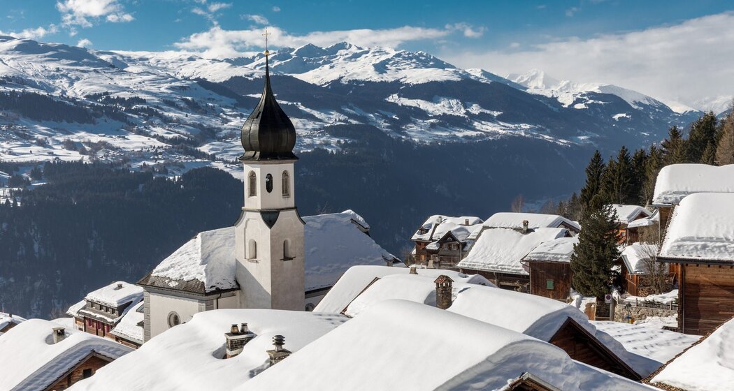
The idyllic mountain village of Siat is a scenic starting point for this route across beautiful alpine and Maiensäss areas.
Details
Beschreibung
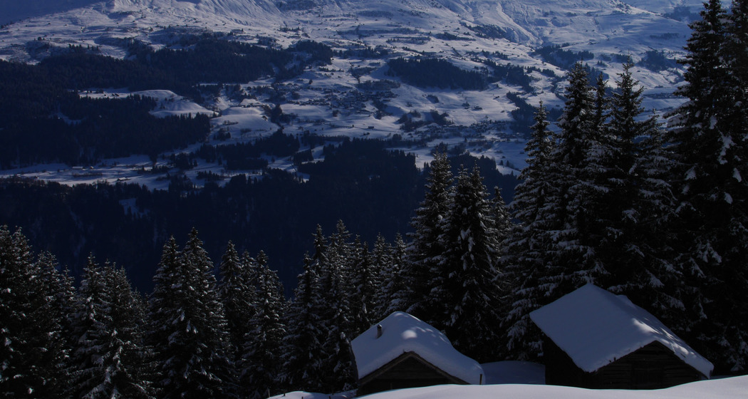
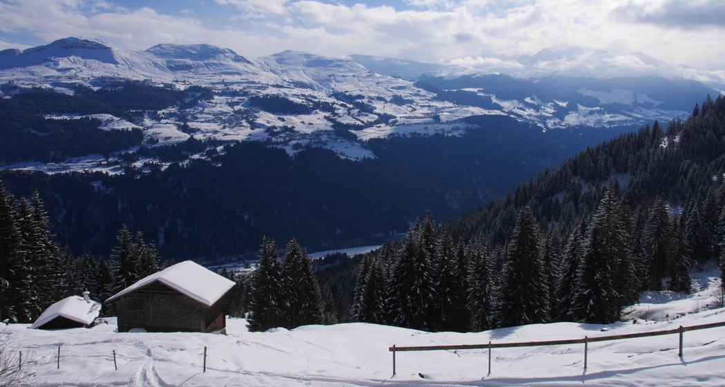
Between two wildlife resting zones, we trace our way partially steeply uphill. The snowshoer is rewarded with peace and a magnificent panorama into the mountain world of Surselva.
The route runs in immediate vicinity to two wildlife resting zones. Please strictly observe this.
See also
Surselva Tourism Info Ilanz
Bahnhofstrasse 25
7130 Ilanz
Tel. 0041 81 920 11 00
Email: info@surselva.info
Internet: www.surselva.info
Geheimtipp
Those who want to take the route more leisurely can also walk it in the opposite direction. That means first walking along the alpine road via Darpagaus.
Sicherheitshinweis
Ski and snowshoe tours in unsecured terrain require good knowledge in avalanche risk assessment and route planning. Furthermore, a complete safety equipment must always be carried - regardless of the current avalanche risk.
We recommend for preparation and planning of the tour the app and website of WhiteRisk.
For carefree enjoyment, we recommend our mountain guides and snowshoe tour leaders of Surselva.
Wildlife needs a lot of rest to survive the harsh winter. Please strictly observe the official prohibitions and recommendations.
Ausrüstung
See safety instructions
Wegbeschreibung
Anfahrt
Öffentliche Verkehrsmittel
Rhb: Chur – Ilanz
Postbus: Ilanz - Siat; BUS 421 towards Siat; stop: Siat, vitg
Anreise Information
Parken


Verantwortlich für diesen Inhalt Surselva Tourism.

Diese Webseite nutzt Technologie und Inhalte der Outdooractive Plattform.