
Curvér pintg da Taspegn 2731 m
Details
Beschreibung
From the upper station Martegnas (Savognin)
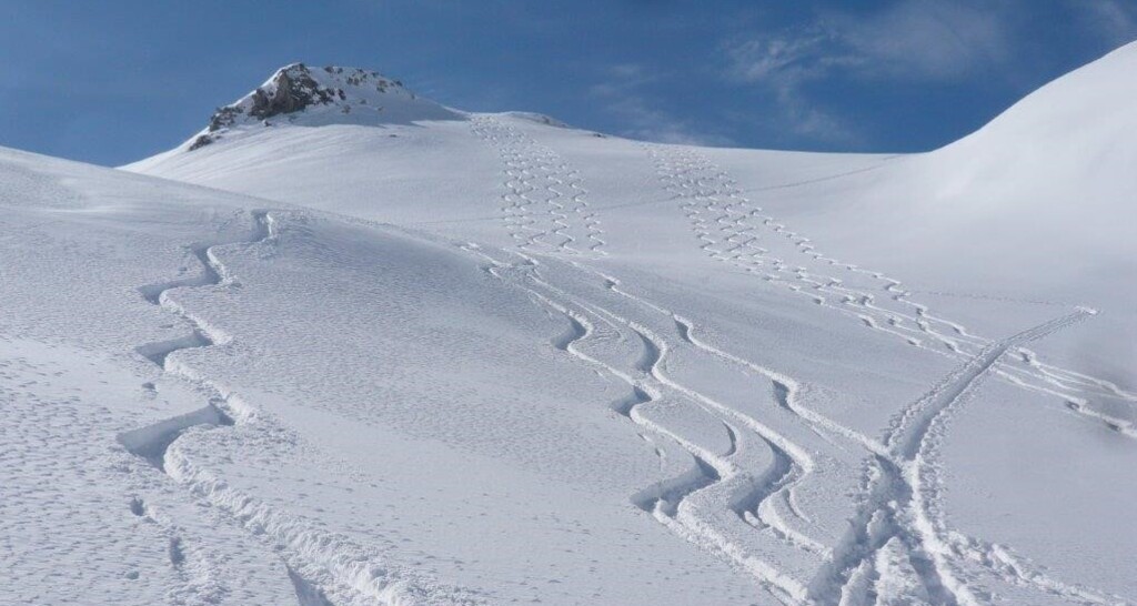
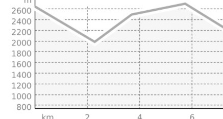
Ascent: From the upper station Martegnas (2670.4 m) descent over R. 438 b to Alp Foppa (2004 m). From here north over Sur Trotg and east around the Motta sur Trotg you reach the Furcletta (2347 m) or the pilgrimage church Ziteil (2433 m). Now you cross the steep east slopes of P. 2745 and reach the ridge at P. 2725, where you can reach the summit within a few minutes.
Descent: Along the ascent route to Salouf or more rewarding over R. 439 b to Mon and Tiefencastel.
Descent to Mon or Tiefencastel:
From the summit (2731 m) directly to the northeast or from P. 2725, west of Crap l'Evla (P. 2516) down to the alpine huts of Munter (1944 m). Through a stream ravine and a forest clearing you reach Planezza (1661.6 m) and over open meadow terrain to Plangs and Mon (1231 m). If the snow reaches down to the valley floor, you can continue skiing to the bridge P. 859 near Tiefencastel via trails.
Sicherheitshinweis
Ski tours – ascents and descents – are mostly done off marked pistes. Neither the authors of the tour descriptions nor the responsible communication authorities assume any liability in case of danger.
We explicitly point out that all ski tours described here are undertaken at your own risk.
Please pay attention to the current avalanche bulletin
Verantwortlich für diesen Inhalt Tourismus Val Surses Savognin Bivio AG.

Diese Webseite nutzt Technologie und Inhalte der Outdooractive Plattform.