
Cyprianspitz near Valzeina
Mittel
11.8 km
4:20 h
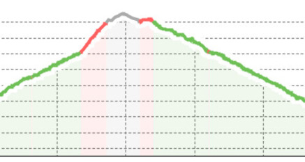
686 Hm
709 Hm
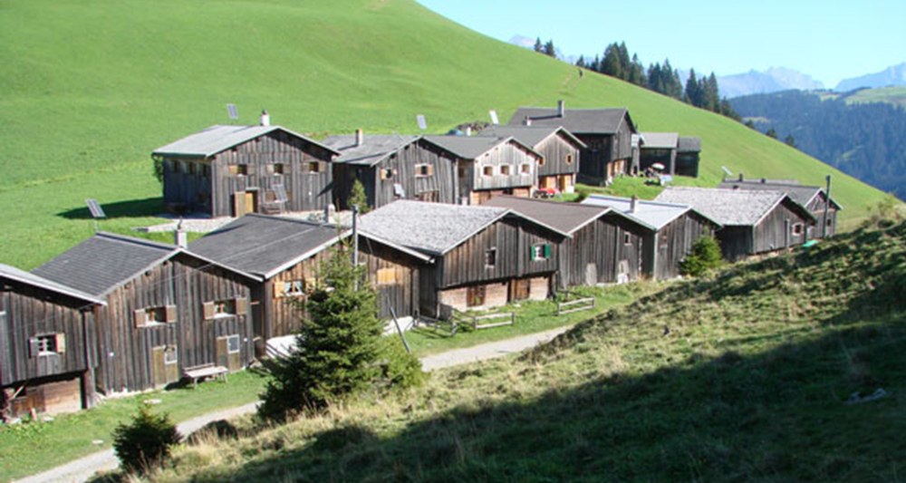
Quite a challenging hike, but rewarded with a magnificent view of the Bündner and St. Galler Rhine Valley.
Beste Jahreszeit
Jan
Feb
Mär
Apr
Mai
Jun
Jul
Aug
Sep
Okt
Nov
Dez
Start
Valzeina
Ziel
Obersays
Koordinaten
46.949116, 9.603225
Details
Anfahrt
Öffentliche Verkehrsmittel
By bus via Trimmis to the small mountain village of Obersays.

Verantwortlich für diesen Inhalt Prättigau Marketing.

Diese Webseite nutzt Technologie und Inhalte der Outdooractive Plattform.