
Davos Side Valley Route
Mittel
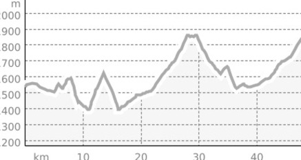
65.1 km
3:40 h
1328 Hm
1328 Hm
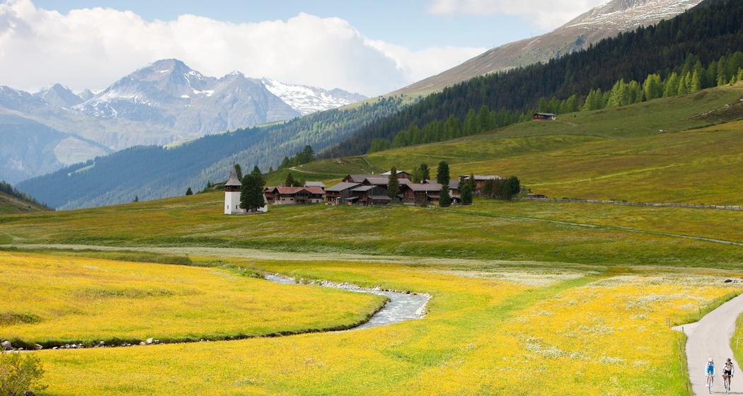
Discover the quiet side valleys of Davos on the varied road cycling route.
Beste Jahreszeit
Jan
Feb
Mär
Apr
Mai
Jun
Jul
Aug
Sep
Okt
Nov
Dez
Start
Davos Sports Center
Ziel
Davos Sports Center
Koordinaten
46.79855, 9.827544
Details
Beschreibung
The route starts at the Davos Sports Center and leads over the Lengmatta with its beautiful old Walser settlements to Glaris. After a short detour on the cantonal road, the turnoff to Monstein follows, along with a short, relatively steep climb. The quaint little village is ideal for a short break with a walkaround. After the descent, it goes along the Landwasser uphill to Frauenkirch, from where it turns into the quiet Sertigtal. The approximately 8 km long road passes small hamlets to Sertig Sand (1858 m above sea level). A break on the terrace of the Walserhuus restaurant is recommended here, with its unique view of Mittaghorn, Plattenfluh, and Hoch Ducan. Via Davos Clavadel it continues to the romantic Dischmatal up to Dürrboden at around 2000 m above sea level, and then back to the starting point at Davos Platz.
Anfahrt
Öffentliche Verkehrsmittel
By train to Chur, then continue with the Rhaetian Railway (RhB) to Davos Platz
Anreise Information
By car to Davos
- Route 28 Landquart - Davos
- Landwasserstrasse Thusis - Davos
Parken
Public parking spaces/parking garages in Davos


Verantwortlich für diesen Inhalt Destination Davos Klosters.

Diese Webseite nutzt Technologie und Inhalte der Outdooractive Plattform.