
Diavolezza - Sass Queder
7 Bilder anzeigen
Details
Beschreibung
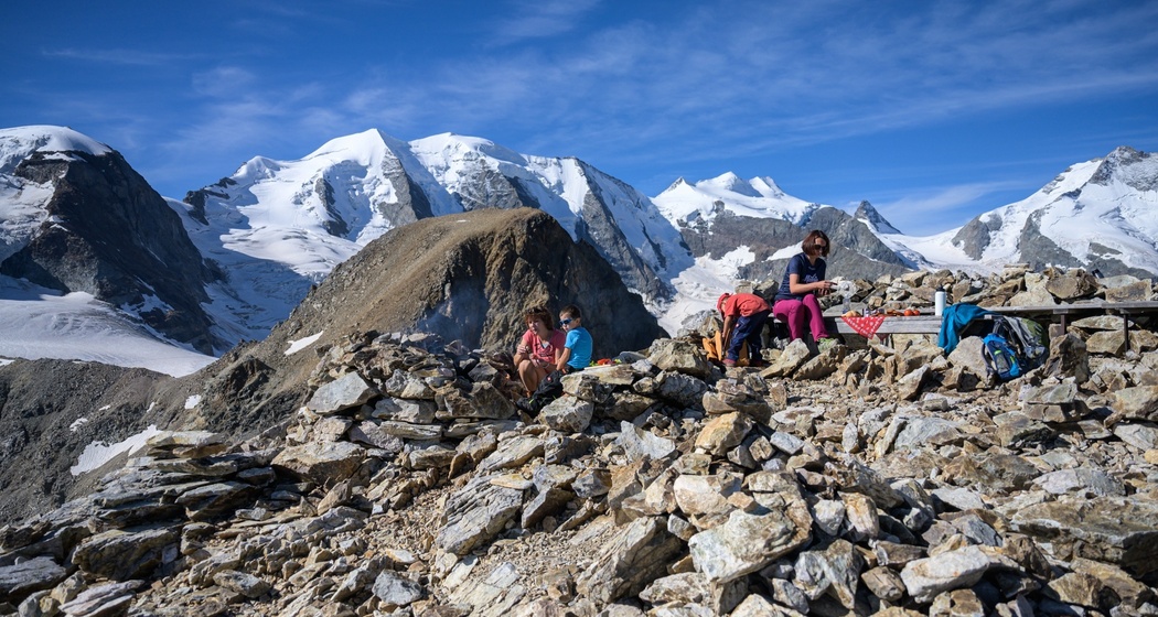
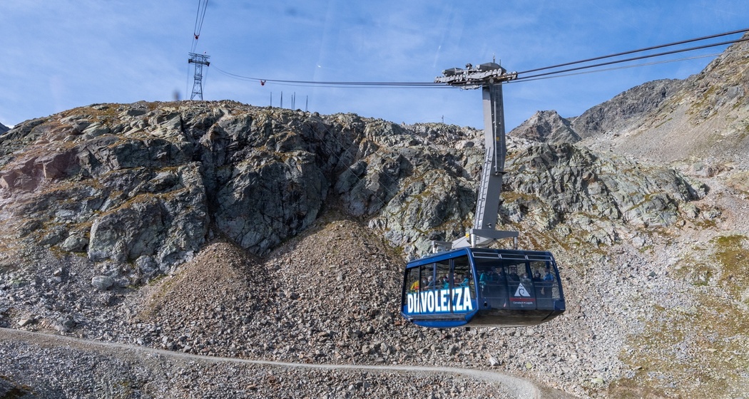
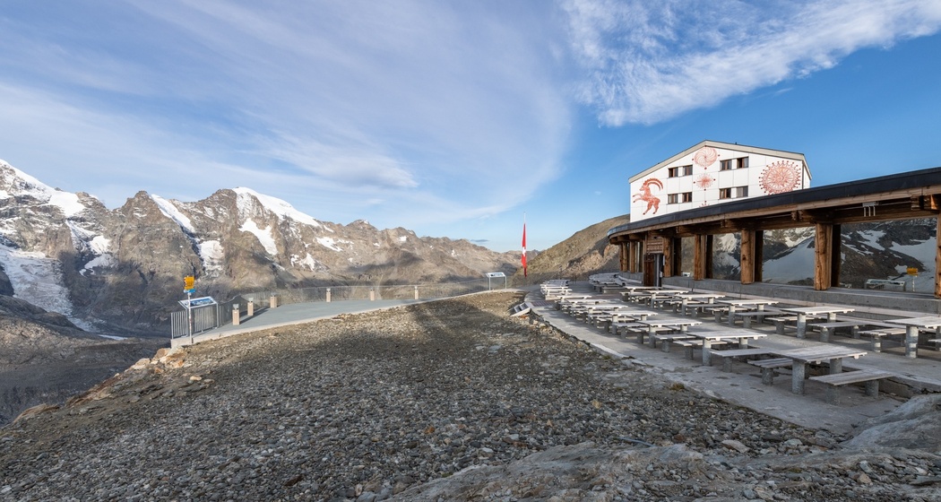
Even lone hikers on the Diavolezza rarely walk alone, as the impressive Bernina massif usually peers over their shoulder as a silent companion, stands at their side, or shines in all its splendor before them. On the easy summit hike to Sass Queder (3066 m), a magnificent panorama awaits, and the panoramic view from this three-thousander even stretches to the Valtellina and the Val Bernina. The marked hiking trail leads both in summer and winter from the Diavolezza mountain station about 0.8 km and only around 110 vertical meters to the summit – in other words: a great family outing! Our tip: Celebrate a cheerful barbecue afternoon at the highest fire site in Europe on Sass Queder.
You can book the "Fire Magic" at the mountain hut: a picnic backpack filled with grilled meat, salad, pretzels and dessert, plus of course wood and a lighter.
The descent is via the same route.
Further information
Engadin Tourism AG
Via Maistra 1
CH-7500 St. Moritz
Phone: +41 81 830 00 01
E-mail: allegra@engadin.ch
Website: www.engadin.ch
Geheimtipp
Take your time at the barbecue gathering, because the air at 3066 m above sea level is thin even for the fire.
Wegbeschreibung
Diavolezza mountain station - Sass Queder - Diavolezza mountain station

Verantwortlich für diesen Inhalt Engadin Tourismus AG.

Diese Webseite nutzt Technologie und Inhalte der Outdooractive Plattform.