
Dischma - Ravais-ch Lakes - Sertig
Schwer
19.1 km
6:35 h
941 Hm
1087 Hm
8 Bilder anzeigen
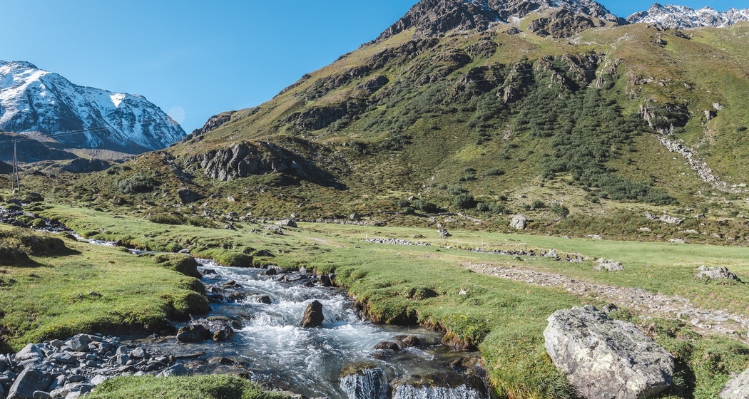
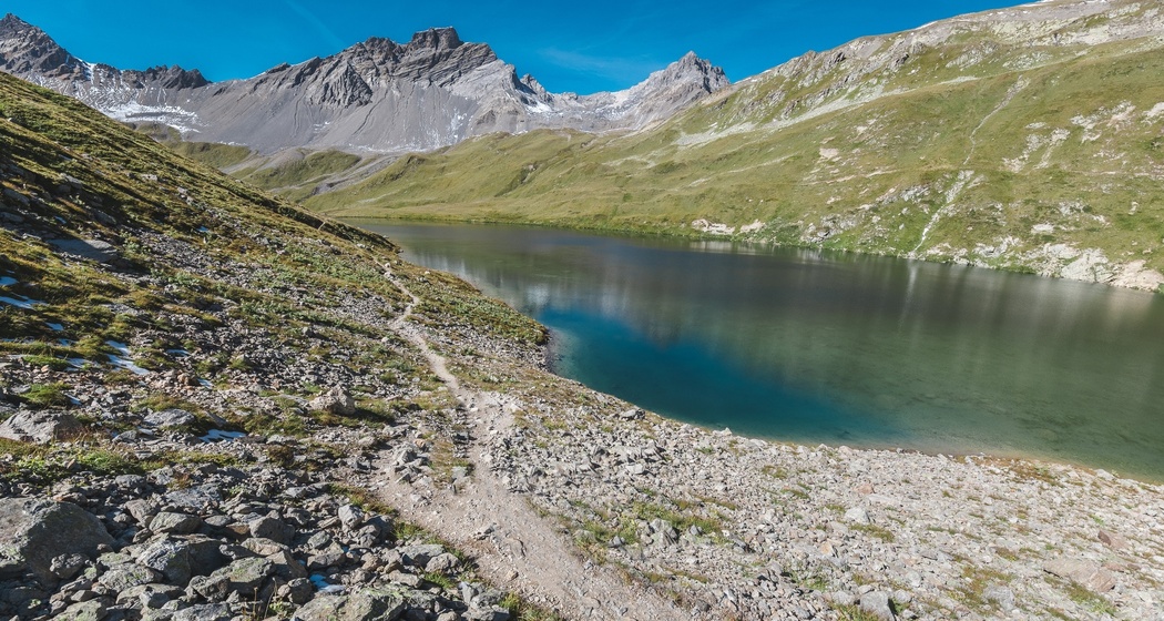
Challenging hike for sure-footed nature lovers over two passes, through the Val Funtauna to the picturesque Lais da Ravais-ch and further to the Sertig village.
Beste Jahreszeit
Jan
Feb
Mär
Apr
Mai
Jun
Jul
Aug
Sep
Okt
Nov
Dez
Start
Dürrboden
Ziel
Sertig Sand
Koordinaten
46.721029, 9.921659
Details
Beschreibung
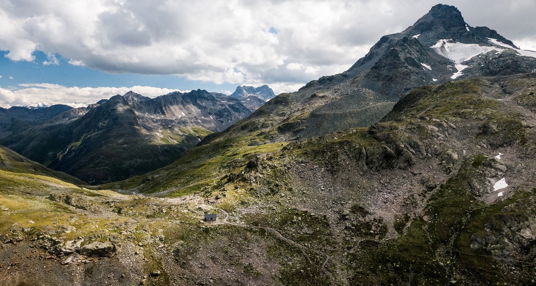
The public bus takes you from Davos to Dürrboden, where the challenging hike begins. After a refreshing break at the Dürrboden restaurant, the path ascends steadily southwards to the Scalettapass, from where you have a view of the magnificent mountain landscape to the south. The Kesch massif is visible on the right in the background. Beyond the pass, the path branches after about 800m; we continue slightly downhill to the right through scree, splendid flower meadows, and over numerous streams. After a short ascent, the Upper Ravais-ch Lake is reached, and the path crosses the ridge and through the scree slope to the Sertigpass. Then, a steep descent over scree slopes leads into the Chüealptal and further downhill to Sertig Sand, where the public bus takes you back to Davos.
Geheimtipp
The Walserhuus Restaurant is an ideal place to stop after the hike.
Sicherheitshinweis
In October and from the end of April to the end of May, the Swiss Army conducts shooting exercises in the S-chanf area. Therefore, the area between S-chanf and the mountain guesthouse Dürrboden is closed via the Scalettapass.
Wegbeschreibung
Dürrboden - Scalettapass - Val Funtauna - Sertigpass - Chüealptal - Sertig Sand
Anfahrt
Öffentliche Verkehrsmittel
By public bus from Davos Dorf train station to Dürrboden.
Anreise Information
By car along the Dischmastrasse to Dürrboden.
Parken
Public parking spaces available at the Dürrboden guesthouse.


Verantwortlich für diesen Inhalt Destination Davos Klosters.

Diese Webseite nutzt Technologie und Inhalte der Outdooractive Plattform.