
E-Bike route from St. Antönien to Bärgli
5 Bilder anzeigen
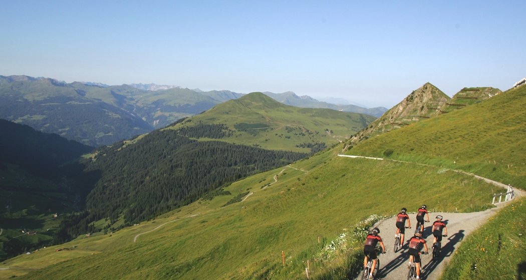
E-Bike route up under the avalanche barriers of the Chüenihorn.
Details
Beschreibung
The road up to Bärgli was built in the 1950s. It was used to transport building material (steel girders, concrete, cement, gravel) for the avalanche barriers. From Bärgli, you have a unique view into the valley and, of course, an exciting look at the avalanche barriers.
Geheimtipp
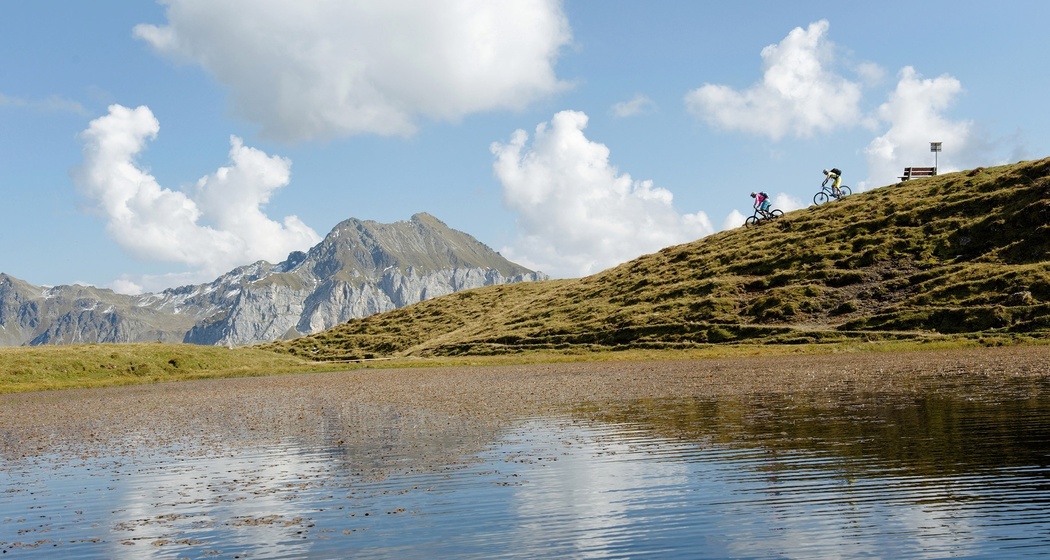
From Bärgli, it is not far to the idyllic Carschinasee. The route follows a singletrail from Bärgli, which is still easy to ride. There is a boat available for rent at the lake and a fireplace where you can take an excellent rest.
Wegbeschreibung
St. Antönien place - Schwendi - Junker - Bodmen - Hubelboden - Bärgli (and back)
Anfahrt
Öffentliche Verkehrsmittel
By the Rhaetian Railway RhB to Schiers (90.218) or Küblis (90.222) and by Postbus to St. Antönien.
Anreise Information
On the A13 and N28 to Küblis, shortly after the roundabout, turn left towards Luzein, Pany, St. Antönien.
Parken
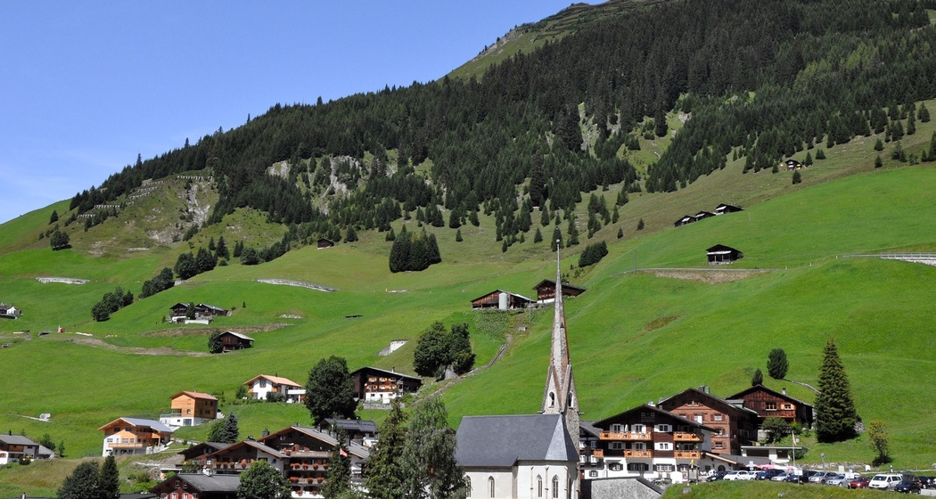
In St. Antönien, all parking lots are subject to fees. Payment on the parking lots is possible with cash, the Parkingpay app, Easy-Park, or Twint. The parking meters accept coins in CHF and Euro. Parking lot P2 is located in the village center slightly above the church.


Verantwortlich für diesen Inhalt Prättigau Marketing.

Diese Webseite nutzt Technologie und Inhalte der Outdooractive Plattform.