
E-Bike route from St. Antönien to the Aschariner Alp
5 Bilder anzeigen
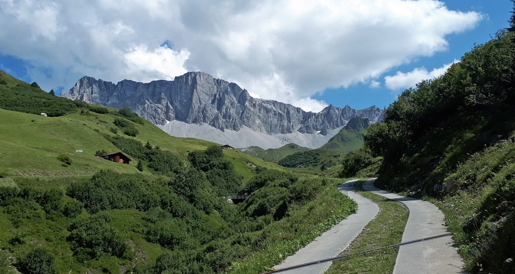
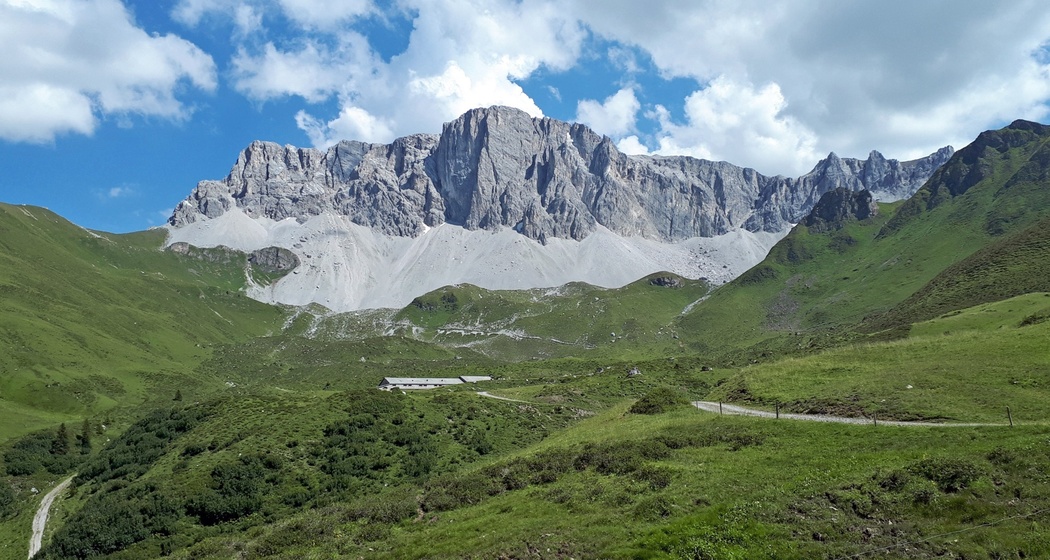
E-Bike route to the Aschariner Alp: Enjoy peace and nature far away from the hustle and bustle. On this route, you get so close to the Rätschenfluh that you feel like you could touch it...
Details
Beschreibung
From St. Antönien Platz, the route initially follows the regular road over the Marschall bridge towards Ascharina. At the Alpbach, the route turns left and leads up to Ascharina Vordersäss. Following the signposts, you eventually reach the Aschariner Alp.
Geheimtipp
During the alp season, there is fresh alpine cheese!
Ausrüstung
In addition to the basic bike equipment (helmet, glasses, gloves) and your personal items, we recommend a small backpack (snacks, filled water bottle, pocket knife) as well as materials for minor repairs (bike multitool, spare tube, pump).
Wegbeschreibung
St. Antönienplatz - Innerascharina - Mittelascharina - Vordersäss - Aschariner Alp (and back)
Anfahrt
Öffentliche Verkehrsmittel
Take the Rhaetian Railway RhB to Schiers (90.218) or Küblis (90.222) and then the PostBus to St. Antönien.
Anreise Information
Take the A13 and N28 towards Küblis, shortly after the roundabout turn left towards Luzein, Pany, St. Antönien.
Parken
All parking spaces in St. Antönien are subject to a fee. At the parking lots, payment is possible with cash, Parkingpay app, Easy-Park, or Twint. The parking meters accept coins in CHF and euros. Parking lot P2 is located in the village center just above the church.


Verantwortlich für diesen Inhalt Prättigau Marketing.

Diese Webseite nutzt Technologie und Inhalte der Outdooractive Plattform.