E-Scooter picnic route Walensee
5 Bilder anzeigen
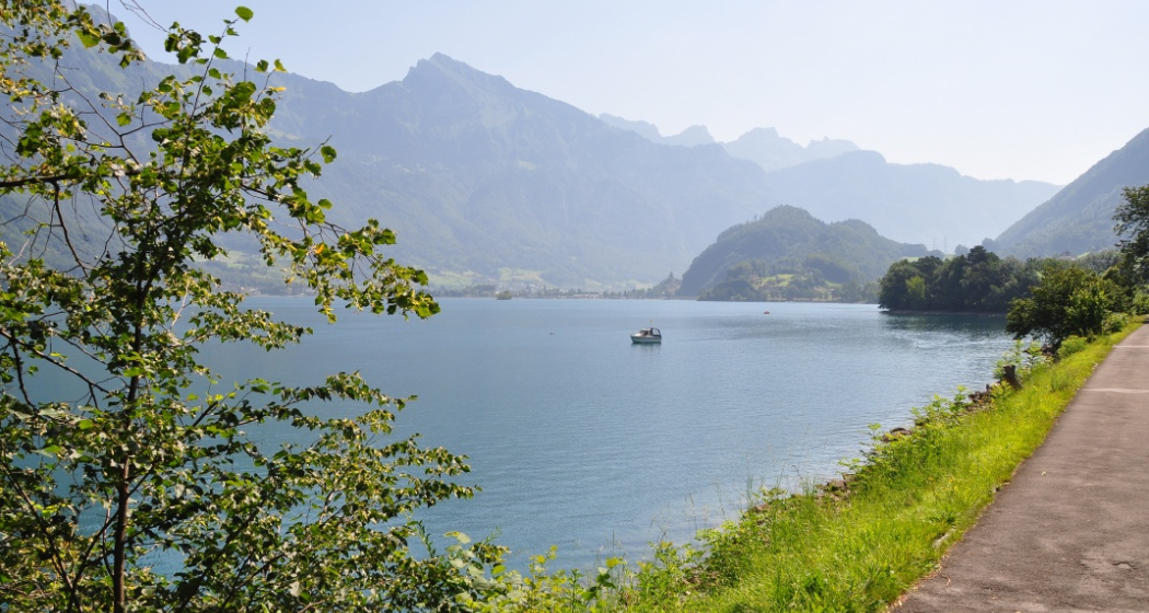
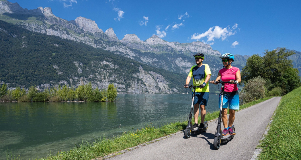
Discover the Walensee and the Churfirsten always in view, with an e-scooter and picnic exploring the landscape around the villages of Walenstadt and Quarten.
Details
Beschreibung
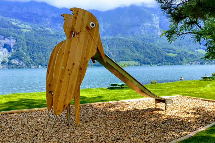
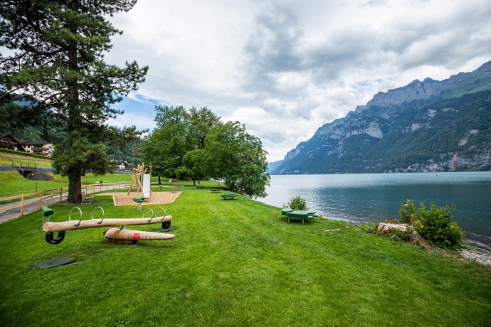
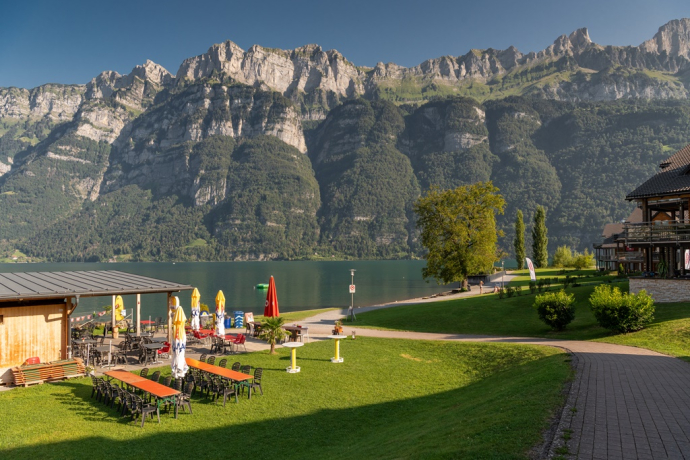
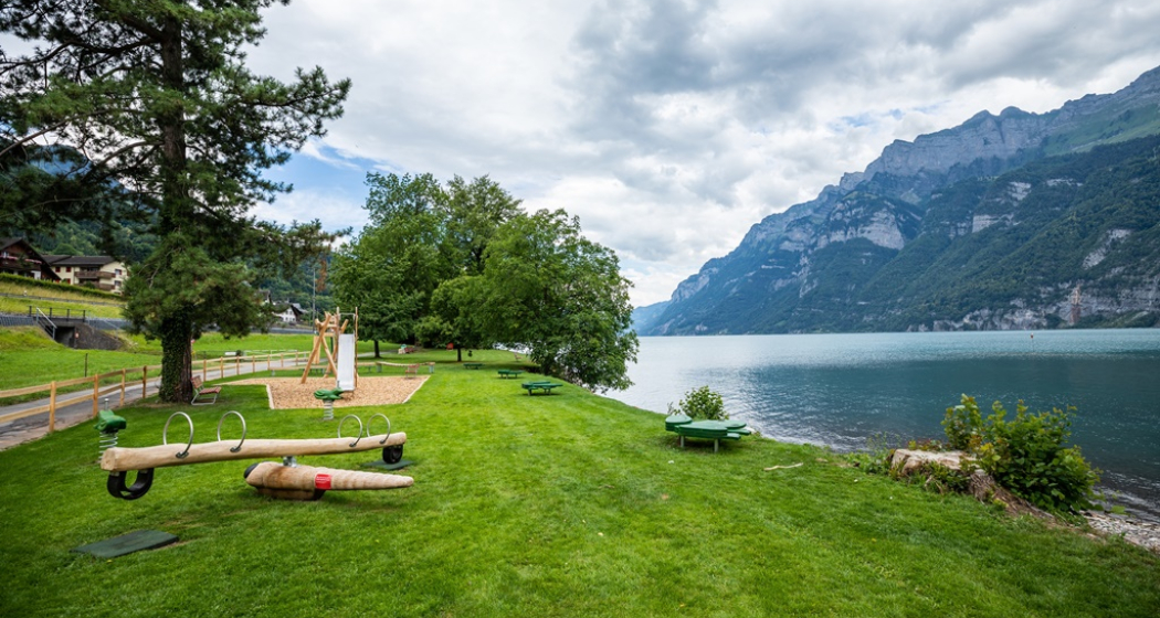
The picnic route starts at the Städtlibeck in Walenstadt. With picnic bag and scooter, follow the lakeside path to Unterterzen. With the Churfirsten and the picturesque Walensee always in view, the path then leads up to Quarten. Here a bench with a view of the opposite Churfirsten invites you to rest. Afterwards, go back down to Unterterzen and continue via Mols to Walenstadt. Right by the water, cozy spots and benches invite you to linger.
Geheimtipp
The Heidiland can also be discovered by electric car on the Heidiland E-Route.
Ausrüstung
Weather-appropriate clothing, good shoes, and bike helmet are recommended.
Wegbeschreibung
Start in Walenstadt at the Städtlibeck. Ride along the Walensee to Mols, Unterterzen and up to Quarten. Then the path leads back to Unterterzen at the Walensee and along the same lakeside route back to Walenstadt.
Note: On the e-scooter you can reach a speed of 20 km/h and cover a range of 65 kilometers.
Anfahrt
Öffentliche Verkehrsmittel
By train to Walenstadt, then on foot to the Städtlibeck.
Anreise Information
Take the Walenstadt highway exit, then on Sarganserstrasse to the Städtlibeck.
Parken
Public parking available at the train station or at the EXI gym (Waffenplatzstrasse 22) in Walenstadt (paid).
Verantwortlich für diesen Inhalt Heidiland Tourism Ltd..

Diese Webseite nutzt Technologie und Inhalte der Outdooractive Plattform.

