Falera - Valendas
Leicht
11 km
3:05 h
149 Hm
553 Hm


7 Bilder anzeigen

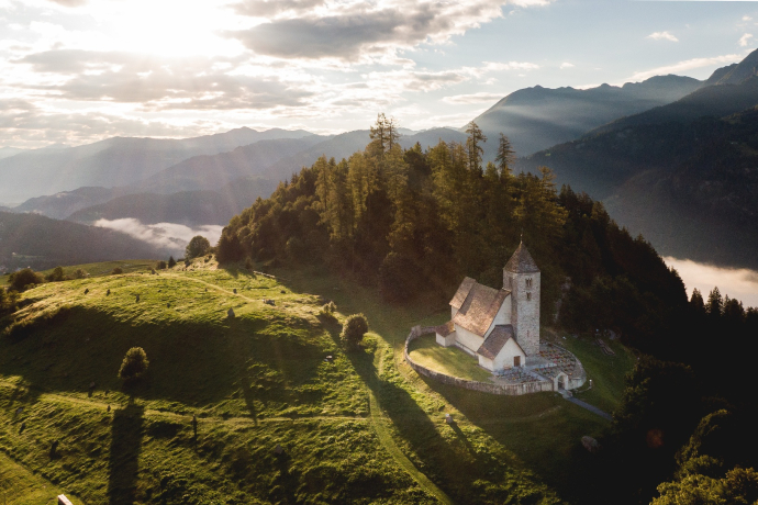
The easy hike leads from the beautiful village of Falera to Valendas
Beste Jahreszeit
Jan
Feb
Mär
Apr
Mai
Jun
Jul
Aug
Sep
Okt
Nov
Dez
Start
Falera
Ziel
Valendas
Koordinaten
46.800528, 9.231989
Details
Beschreibung
The hiking trail leads from Falera down through meadows and fields to Schluein. The panoramic views across the entire valley are truly breathtaking.
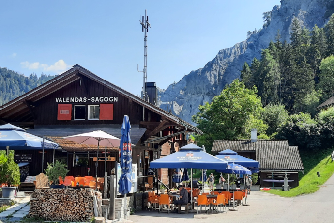
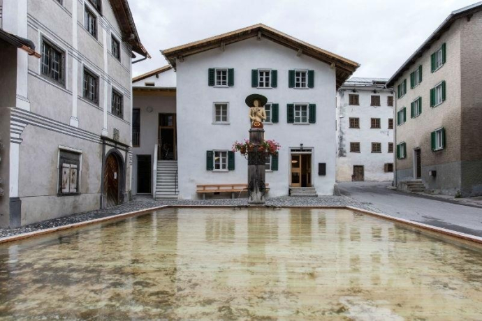
From Schluein, the path continues downhill to the Anterior Rhine, where you cross the bridge and follow the trail along the right-hand side of the river until you reach Valendas train station. There, you can take a break at the charming local café before making your way up to the village of Valendas.
Ausrüstung
Good shoes, weather appropriate clothing (rain jacket, /sun protection), drink, possibly food, possibly walking sticks.
Wegbeschreibung
Falera (Bus) - Schluein - Ruinaulta - Station Valandas (RhB) - Valandas (Bus)
Anfahrt
Öffentliche Verkehrsmittel
Stop: Falera Post. With the Postbus from Chur to Falera
Anreise Information
By car Motorway A13 from Zurich, exit Flims
Parken
Parking spaces at the village entrance of Falera
Verantwortlich für diesen Inhalt Flims Laax Falera Management Ltd..

Diese Webseite nutzt Technologie und Inhalte der Outdooractive Plattform.


