
Fanas village round to Lengtannen forest
7 Bilder anzeigen
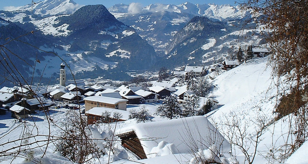
Simple but scenic circular route from Fanas (907 m above sea level) up to Plandadein Baizli (1100 m above sea level) and back to Fanas via the Egg and Lengtannen forest and Trügli.
Details
Beschreibung
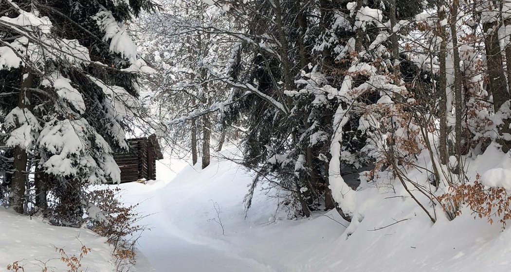
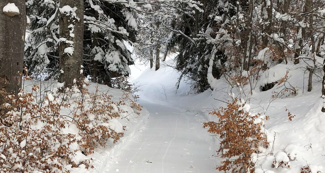
From the schoolhouse, the winter hiking trail leads through the quaint village of Fanas uphill towards Plandadein. At about 1100 m above sea level, the cozy, very sunny located Plandadein Baizli invites you to linger. The hike continues into the enchanting Egg and Lengtannen forest, where it returns to Fanas via Trügli. A simple but scenic winter hike for young and old.
Geheimtipp
A visit to the cozy and sunny located Plandadein Baizli is always worthwhile. The hike can also be ideally combined with a ride on the Fanas cable car.
Ausrüstung
Normal winter hiking equipment; poles may be recommended depending on the conditions.
Wegbeschreibung
Fanas schoolhouse 907 m - Brül 991 m - Plandadein 1100 - Egg forest - Lengtannen forest 989 m - Trügli 910 m - Fanas schoolhouse 907 m
Anfahrt
Öffentliche Verkehrsmittel
By RhB Rhaetian Railway to Grüsch or Schiers and then by Postbus to Fanas. (Timetables 90.203 / 90.211).
Anreise Information
Parken


Verantwortlich für diesen Inhalt Prättigau Marketing.

Diese Webseite nutzt Technologie und Inhalte der Outdooractive Plattform.