
Fatschél - Cunggel - Hochwang - Fatschél
Schwer
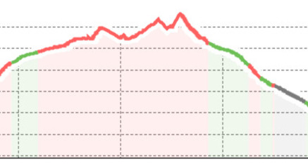
19.9 km
8:25 h
1166 Hm
1166 Hm
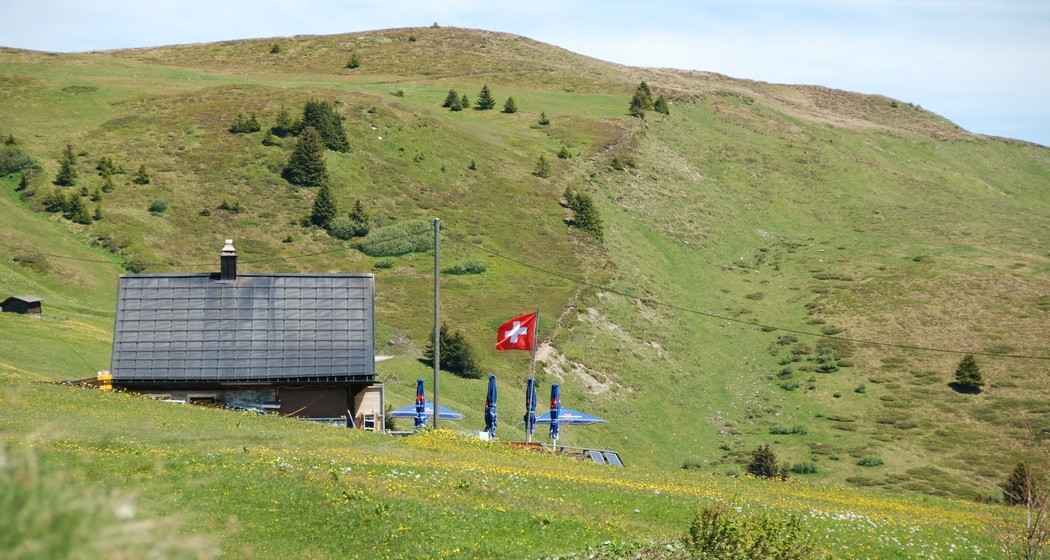
A demanding hike for experienced mountain walkers. Grandiose views of Schanfigg and the Glarus and Bernese Alps. From the Hochwang summit, the view opens up into the Chur Rhine Valley.
Beste Jahreszeit
Jan
Feb
Mär
Apr
Mai
Jun
Jul
Aug
Sep
Okt
Nov
Dez
Start
Fatschel
Ziel
Fatschel
Koordinaten
46.840228, 9.653736
Details
Beschreibung
A demanding hike for experienced mountain walkers. Grandiose views of Schanfigg and the Glarus and Bernese Alps. From the Hochwang summit, the view opens up into the Chur Rhine Valley.
Geheimtipp
Visit to the Triemel mountain inn
Ausrüstung
Good mountain hiking boots and complete hiking equipment
Anfahrt
Öffentliche Verkehrsmittel
With the sports bus to Fatschel
Anreise Information
From the cantonal road from Chur to St. Peter to Fatschel.
Parken
Parking spaces are available
Verantwortlich für diesen Inhalt Arosa Lenzerheide.
Dieser Inhalt wurde automatisiert übersetzt.

Diese Webseite nutzt Technologie und Inhalte der Outdooractive Plattform.