From Ausserferrera to Sufers
7 Bilder anzeigen
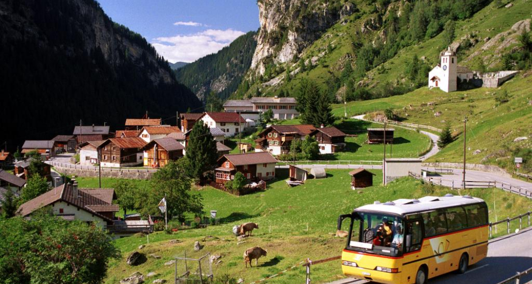
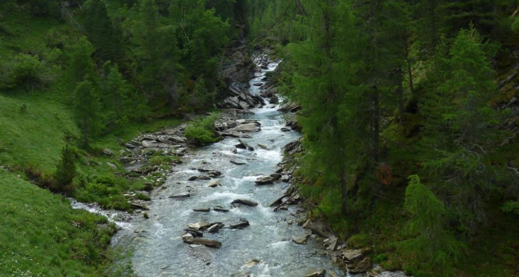
From Ausserferrera to Alp Nursera and over the Schwarzwald into the Rheinwald to Sufers.
Details
Beschreibung
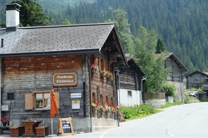
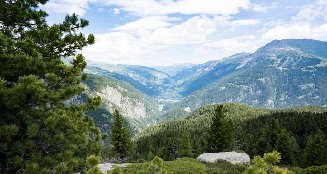
The hike begins in Ausserferrera in Val Ferrera with a great mining history. At the village exit going downstream, the hiking trail leads over the "Ragna da Ferrera" (Avers Rhine) towards Alp Nursera. It climbs steeply through the forest, and the approximately 550 meters of elevation to the alp at 1,830 m above sea level are covered in about 1.5 hours. Over difficult terrain, the route continues uphill to the highest point of the hike at just over 2,000 m above sea level, where a magnificent view into Val Schons to the Haldensteiner Calanda compensates for the arduous ascent.
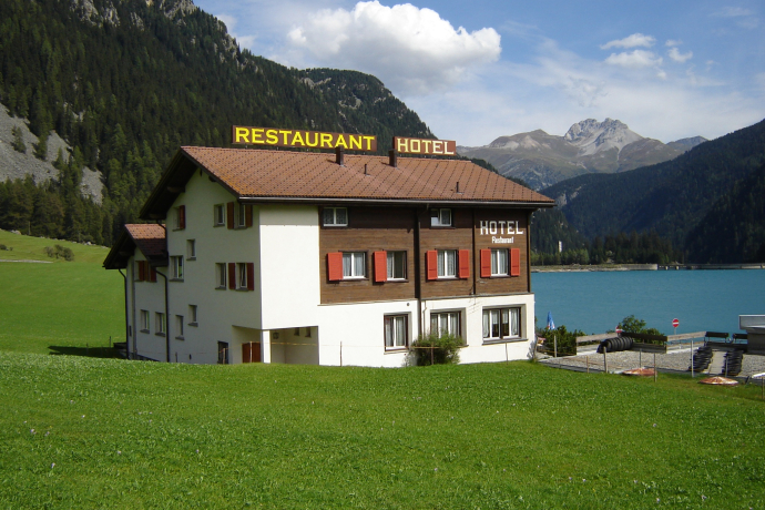
On a very natural and partly somewhat rough path, the hike continues towards Schwarzwaldalp. After crossing the Surettabach, the Rosschopf is soon reached. From there, it goes comfortably down wide forest roads through the Göriwald to the Sufnersee and on the other side of the lake to Sufers.
Geheimtipp
Ausrüstung
Suitable hiking equipment, good shoes with grippy soles.
Wegbeschreibung
Ausserferrera - Alp Nursera - Schwarzwald - Rosschopf - Sufnersee - Sufers
Anfahrt
Öffentliche Verkehrsmittel
The villages Ausserferrera and Sufers are accessible by PostAuto from Andeer. Timetable information and more details at sbb.ch.
Anreise Information
Plan your arrival with the Google route planner
Verantwortlich für diesen Inhalt Viamala Tourism.

Diese Webseite nutzt Technologie und Inhalte der Outdooractive Plattform.
