
From Soglio via Savogno to Chiavenna - Sentiero Panoramico
4 Bilder anzeigen
Details
Beschreibung
Geheimtipp
Sicherheitshinweis
Ausrüstung
Wegbeschreibung
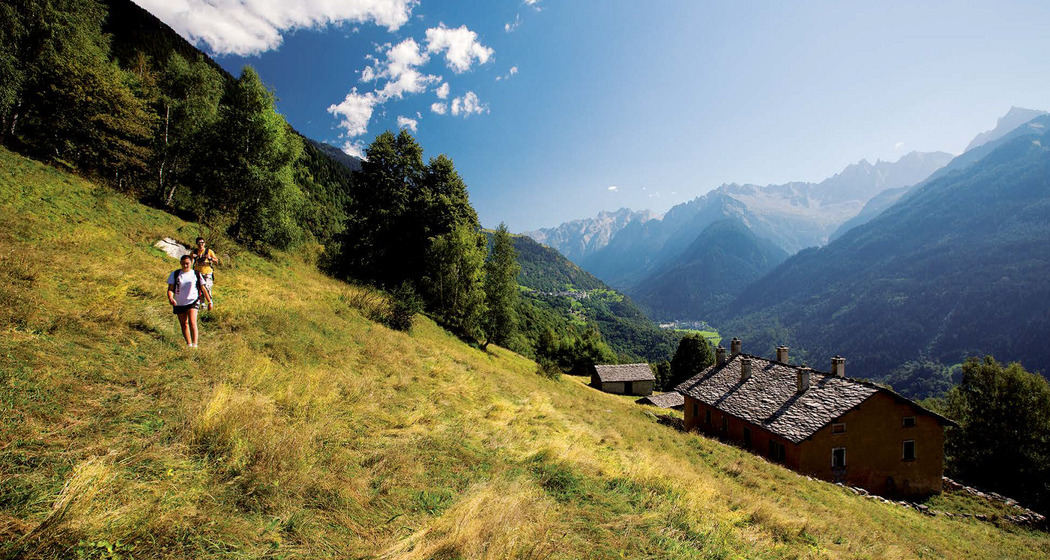
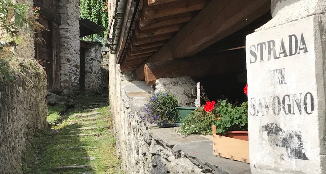
At first, the route continues gently westwards through the clearings and the Monti di Villa. After the huts at Galleggione, the trail leads down to the bridge over the Zernone torrent. Immediately after the bridge, turn right, follow the course of the stream and then begin a steep ascent with hairpin bends, gaining a few hundred meters of altitude and reaching the huts and pastures of Calestro (1182 m). After a short descent, you come to a fork with signposts, which you follow along the path towards the Sentiero Panoramico to Savogno. Before Savogno, the trail follows the road to Savogno for a short distance before changing back to the footpath at the parking lot.
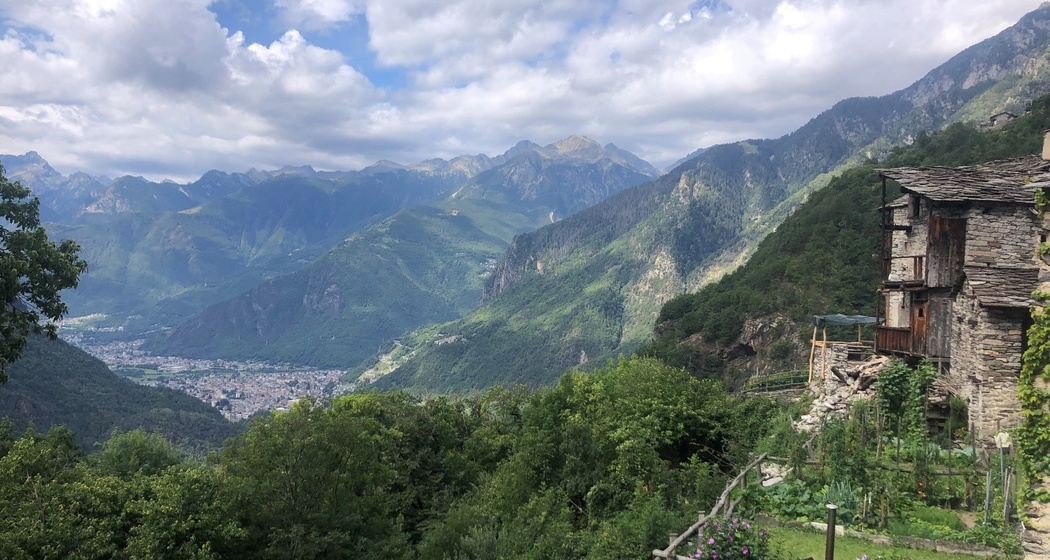
From Savogno, you can either descend comfortably along the beautiful mule track to Piuro or take the somewhat more spectacular (and steeper) option via the Acquafraggia waterfalls and then continue via Prosto to Chiavenna.
Anfahrt
Öffentliche Verkehrsmittel
Postbus route no. 4 Chiavenna- St. Moritz
Anreise Information
Parken
Parking spaces in Soglio are limited, so we recommend that you park in the valley and reach Soglio by PostBus.
Verantwortlich für diesen Inhalt Bregaglia Maloja Turismo.
Dieser Inhalt wurde automatisiert übersetzt.

Diese Webseite nutzt Technologie und Inhalte der Outdooractive Plattform.