
Ftan – Motta Naluns – Alp Clünas (circular route)
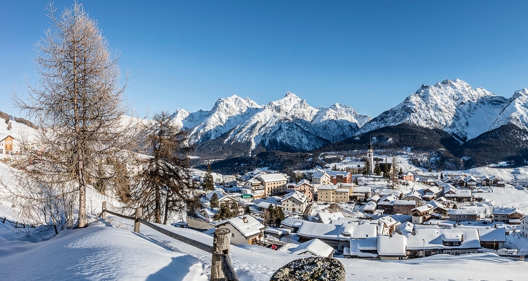
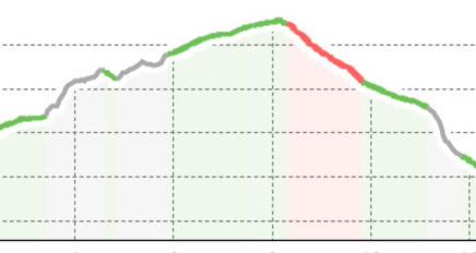
Far away from groomed and prepared trails, we draw a new track step by step in the deep snow. The silence surrounding us leaves us speechless. But do we even need to speak or are we just overlooking what nature has to tell us?
Details
Beschreibung
Note:
- Snowshoe trails are NOT groomed
- Snowshoe hiking trails are NOT marked
Sicherheitshinweis
Please observe the condition reports in the winter sports bulletin.
The route was rated under favorable weather conditions, the current snow and weather conditions must be checked before starting.
Emergency numbers:
144 Emergency call, first aid
1414 Mountain rescue REGA
112 International emergency call
Ausrüstung
Wegbeschreibung
Ftan – mountain restaurant Prui – cable car station Motta Naluns – Alp Clünas - Ftan
Anfahrt
Öffentliche Verkehrsmittel
- By the Rhaetian Railway (from Chur, Prättigau or Upper Engadin) hourly to Scuol-Tarasp, direct PostBus connection to Ftan, cumün
- By PostBus (from Tarasp or Martina) hourly to Scuol-Tarasp, direct PostBus connection to Ftan, cumün
Anreise Information
- From the north: via Landquart – Klosters by car train through the Vereina Tunnel (Selfranga - Sagliains) or via Flüela Pass to Lower Engadin on H27
- From the east: via Landeck / Austria towards St. Moritz on H27
- From the south: via Reschen Pass (Nauders-Martina) or Ofen Pass (Val Müstair-Zernez) on H27
Ftan is located elevated on a sunny terrace and can be reached in ten minutes by car from the Engadin road H27 starting at Ardez or Scuol
Parken
Paid parking spaces at the valley station of the Ftan-Prui chairlift

Verantwortlich für diesen Inhalt Tourism Engadin Scuol Samnaun Val Müstair AG.

Diese Webseite nutzt Technologie und Inhalte der Outdooractive Plattform.