
Furna: From the church to the Speichersee
3 Bilder anzeigen
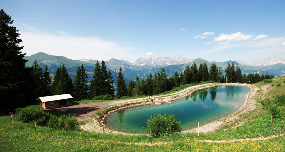
Hike from the church via Riedji, Ronabort, Teufried through the forest to the Speichersee, where you can also swim. On the way back, go around the Furner Berg. The nice thing: you pass the Alp Rona where you can stop, eat ice cream, and buy alpine cheese!
Details
Beschreibung
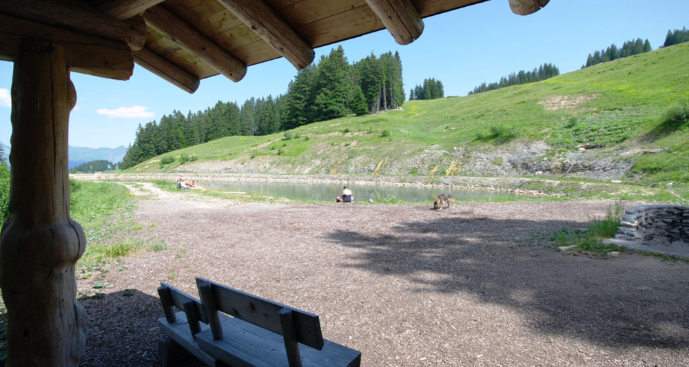
From the church, follow the road towards Boden, on the right: view into the rear Prättigau; at Riedji take the road towards Danusa; before turning off into the Ried, enjoy the last view into the rear Prättigau at Ronabort (bench). Past Ronabortried and Ronggried (depending on season: bird's eye primrose, orchid, cotton grass) to Teufried (take the path down on the left). Not over the little bridge, but forest road towards Speichersee. Between the trees, view towards Schiers, Fanas, Seewis, Schuders. At the end of the Speichersee, there is a campfire site, hut, and WC. The way back to the starting point leads around Furnerberg, past Alp Wiesli and Alp Rona. Across the plains of Danusa, the path then leads back down to Furna.
Geheimtipp
Be sure to plan a visit to Alp Rona: enjoy a fine homemade ice cream and buy delicious alpine cheese for home!
Wegbeschreibung
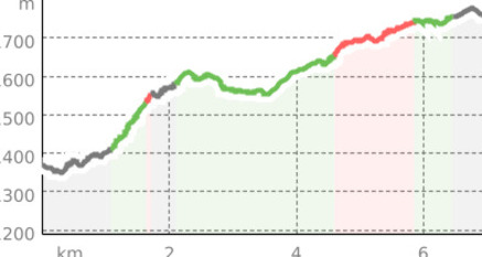
Furna Church 1351m – Riedji 1401m – Ronabort 1600m – Teufried 1548m – Speichersee 1640m - Wisli 1742 - Güfer 1727
Anfahrt
Öffentliche Verkehrsmittel
Take the Rhaetian Railway RhB to Schiers and the post bus to Furna.
Anreise Information
Take the A13 and A28 to Pragg-Jenaz. Follow signs towards Furna.
Parken
You can park your car free of charge at the village shop or, if there is enough space, free of charge at the depot.


Verantwortlich für diesen Inhalt Prättigau Marketing.

Diese Webseite nutzt Technologie und Inhalte der Outdooractive Plattform.