Garmil summit tour on Pizol

5 Bilder anzeigen
Details
Beschreibung
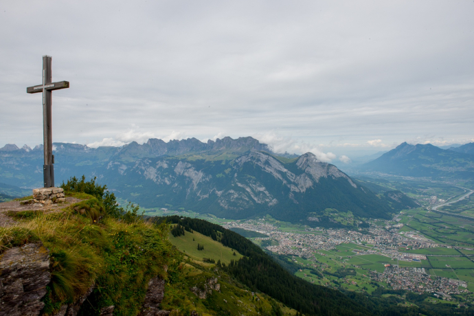
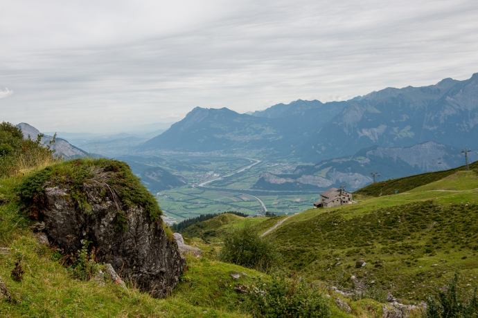
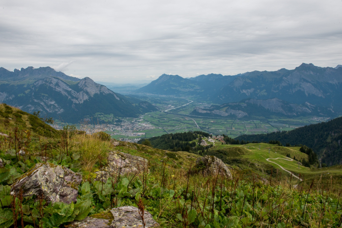
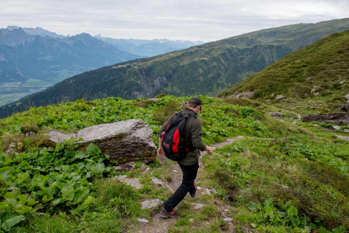
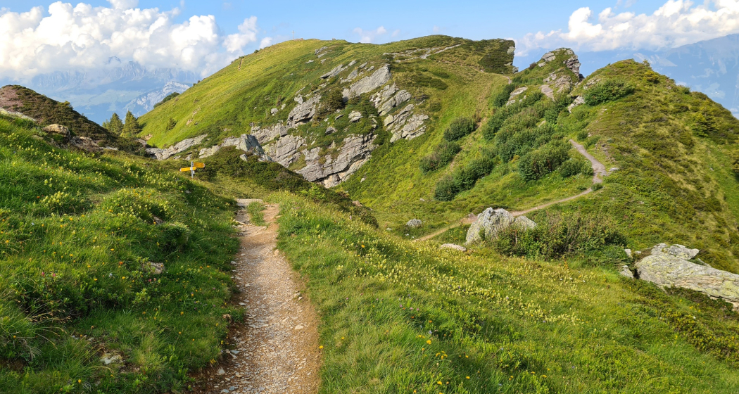
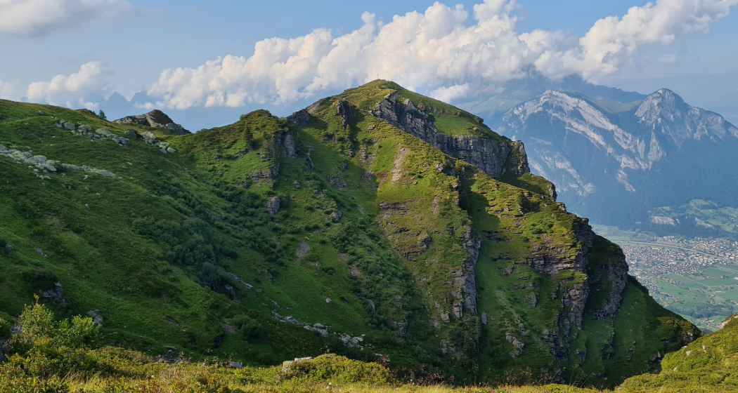
The Pizol region is known for its breathtaking views across the St. Gallen Rhine Valley to Lake Constance. Nowhere else can you enjoy the view as undisturbed as on the highest peaks of the hiking area. The hike up the Garmil is part of the Pizol summit quartet. The Garmil, Gamidauerspitz, Hochwart and Pizol stages can all be hiked independently of each other, but can also be combined as desired.
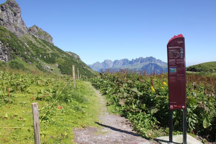
On the hike up the Garmil, we experience exciting insights and views of the UNESCO World Heritage Site Tectonic Arena Sardona. Information boards line the trail in places and you will learn interesting facts about the geology along the way.
The view from the summit of the surrounding mountains and Sarganserland is simply breathtaking. The flora and fauna are particularly beautiful to admire in early summer.
Geheimtipp
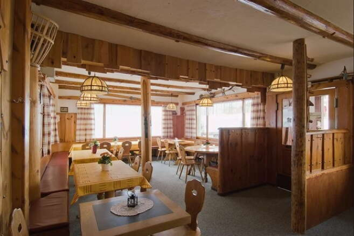
The Berghotel Gaffia is the ideal overnight accommodation and starting point for this tour, especially for combinations of the summit quartet.
Ausrüstung
Day hiking backpack (approx. 20 liters) with rain cover, sturdy and comfortable shoes, weather-appropriate and hard-wearing clothing in multiple layers, telescopic poles if necessary, sun and rain protection, provisions and drinking water, first aid kit, pocket knife, cell phone, headlamp if necessary, maps
Wegbeschreibung
For the way back we have various possible combinations:
Continue to Fürggli, where we then branch off towards Furt. On the zigzag path we descend to Vollenplangg and Fälli, both of which belong to Alp Mugg. On the last ascent, we once again enjoy the magnificent view of the St.Gallen Rhine valley before we reach the Bildstöckli of St. Brother Klaus. After a few minutes we reach the ford, the end point of the hike.
Same way back
Combinations with the summit quartet or the 5-lake hike
Anfahrt
Öffentliche Verkehrsmittel
Anreise Information
Parken
Verantwortlich für diesen Inhalt Heidiland Tourism Ltd..

Diese Webseite nutzt Technologie und Inhalte der Outdooractive Plattform.
