
Graubünden Bike: Stage 3

Schwer
47 km
7:55 h
2200 Hm
2000 Hm
4 Bilder anzeigen
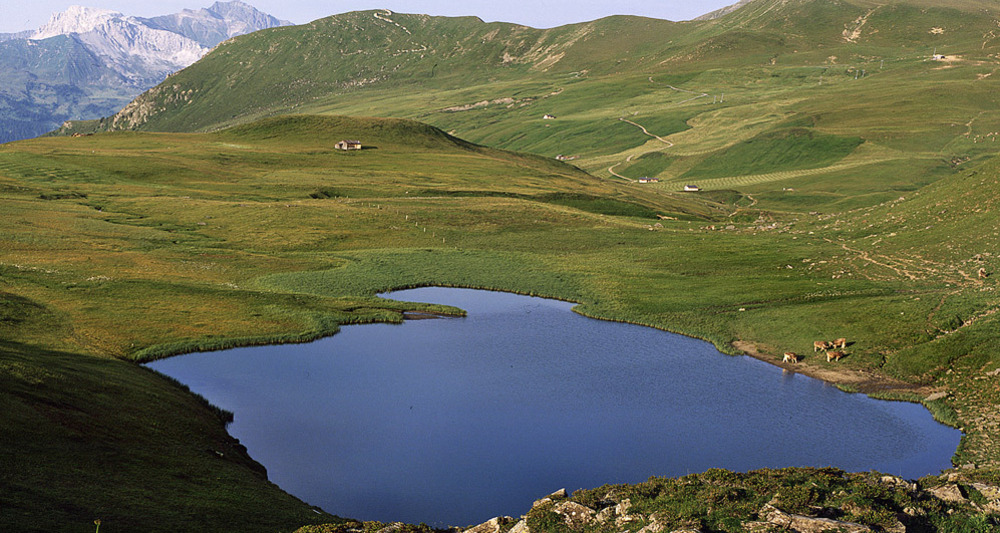
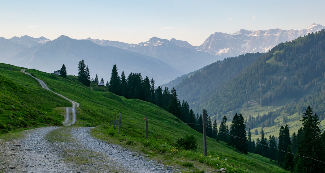
Sensational long-distance views over the Bündner Rheintal, your reward for the perspiration-soaked ascent to Stams. Over gentle Alpine meadows and rugged valley flanks to the lonely Furnerberg moorland with impressive panoramic views into Prättigau.
Beste Jahreszeit
Jan
Feb
Mär
Apr
Mai
Jun
Jul
Aug
Sep
Okt
Nov
Dez
Start
Untervaz
Ziel
Küblis
Koordinaten
46.927546001645, 9.5351321862774
Details
Beschreibung
Sensational views of the Graubünden Rhine Valley are the reward for the strenuous ascent to Stams. Over gentle alpine meadows and steep mountain slopes, you reach the lonely moor landscape of the Furnerberg with a wonderful view all around to the Prättigau.
Wegbeschreibung
Untervaz - Trimmis - Says - Stams - Scära - Furner Berg - Furna - Pragg-Jenaz - Jenaz - Fideris - Strahlegg - Küblis


Verantwortlich für diesen Inhalt Prättigau Marketing.
Dieser Inhalt wurde automatisiert übersetzt.

Diese Webseite nutzt Technologie und Inhalte der Outdooractive Plattform.