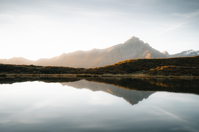
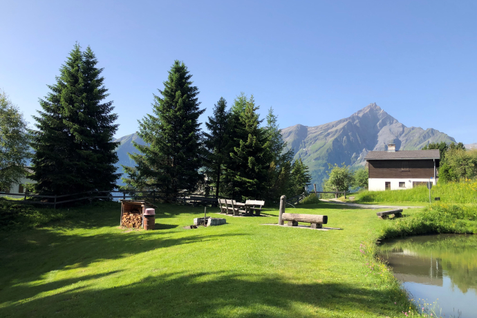
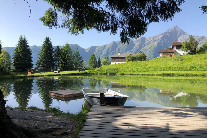
Heinzenberg mountain lakes
Mittel
12.9 km
4:00 h
429 Hm
900 Hm
8 Bilder anzeigen
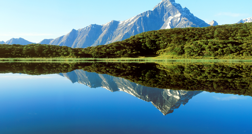
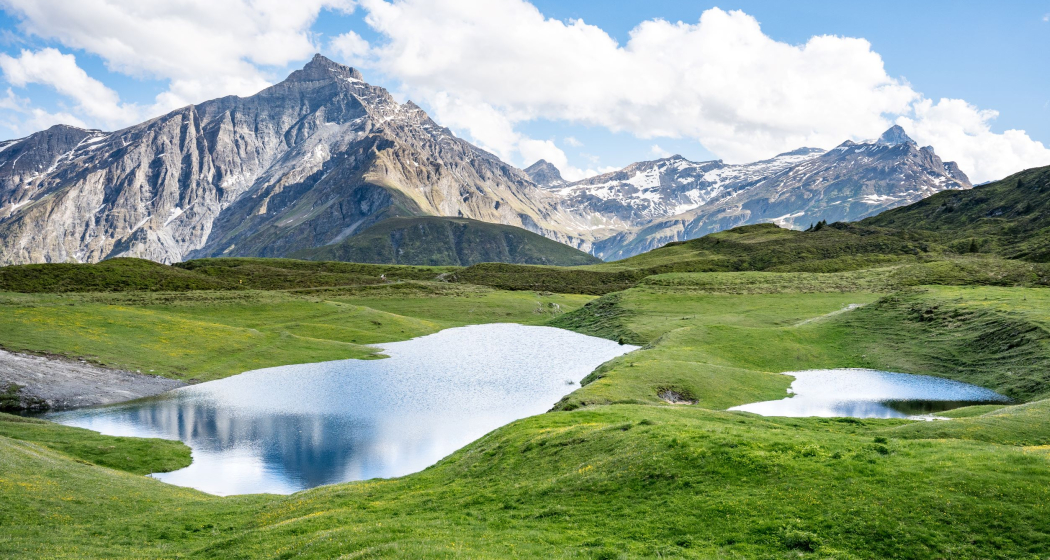
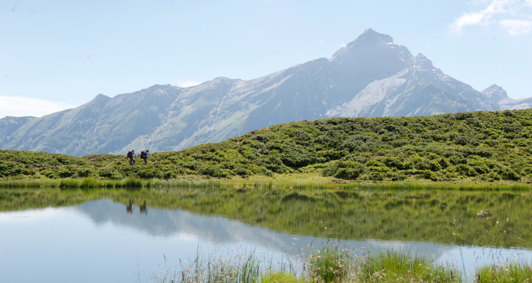
Panoramic hike from Obertschappina to the Glaspass and Bischolpass along the Bergessen to Flerden.
Beste Jahreszeit
Jan
Feb
Mär
Apr
Mai
Jun
Jul
Aug
Sep
Okt
Nov
Dez
Start
Obertschappina, village
Ziel
Flerden, village
Koordinaten
46.686432, 9.371634
Details
Beschreibung
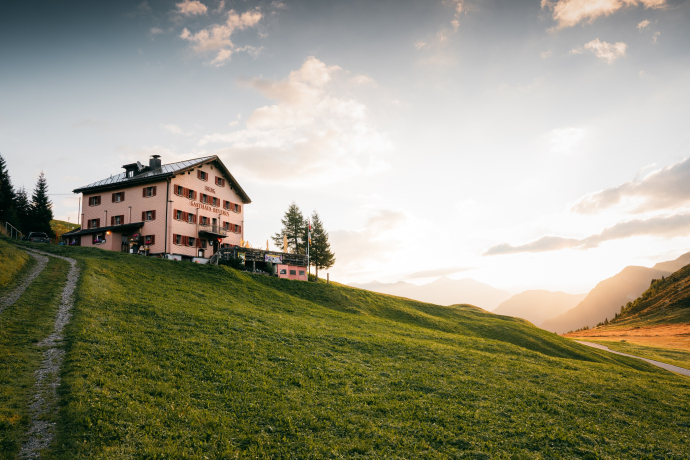
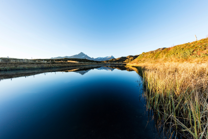
The hike begins in Obertschappina (1,577 m) and leads along the old Glaserweg trail to the Glaspass (1,846 m). Continue via Bruchalp to the former Lüschersee lake and Lüschalp. Follow the alpine path to the Bischolpass (1,999 m). The descent leads left past Lake Pascuminer to Oberrascheins and on past Lake Patrutg to Oberurmein. Now take the last section under your feet and hike via Urmein to the end point of the hike in Flerden (1,231 m).
Wegbeschreibung
Obertschappina - Glaspass - Bruchalp - Lüsch - Bischolpass - Rascheins - Oberurmein - Badugns - Val da la Malanotg - Flerden
Anfahrt
Öffentliche Verkehrsmittel
Obertschappina, the Glaspass and Flerden can be reached by PostBus. Further information and timetables can be found at www.sbb.ch.
Anreise Information
On the A13, take exit 21-Thusis-Nord. Then follow the signs for Heinzenberg/Tschappina.
Verantwortlich für diesen Inhalt Viamala Tourism.

Diese Webseite nutzt Technologie und Inhalte der Outdooractive Plattform.
