Il Pizzo Galleggione
Schwer
14.2 km
9:00 h
1989 Hm
2013 Hm
5 Bilder anzeigen
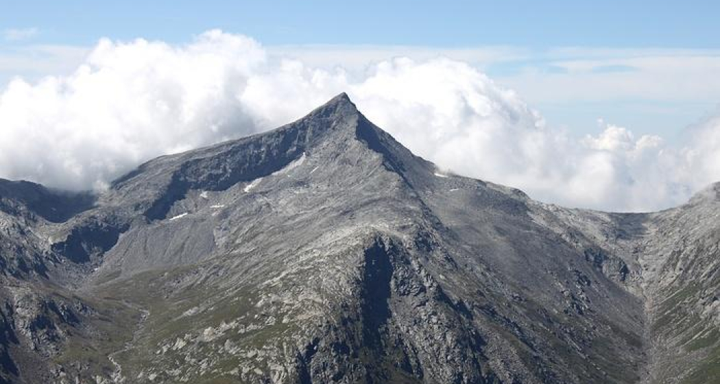
Summit with a rewarding view after a long hike.
Beste Jahreszeit
Jan
Feb
Mär
Apr
Mai
Jun
Jul
Aug
Sep
Okt
Nov
Dez
Start
Soglio
Ziel
Soglio
Koordinaten
46.342168, 9.538161
Details
Beschreibung
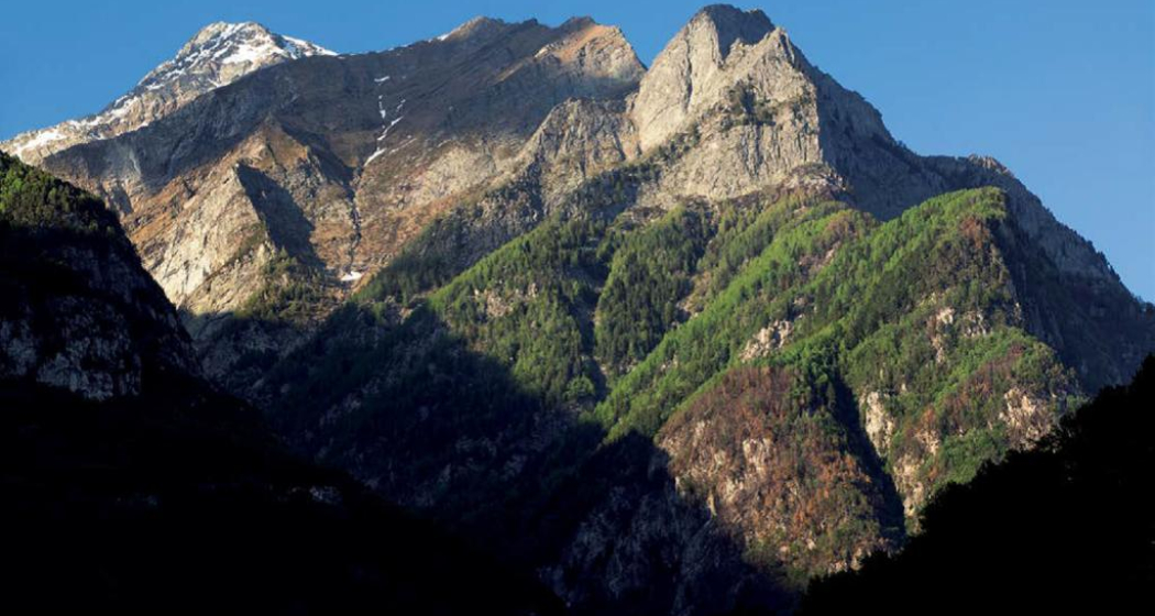
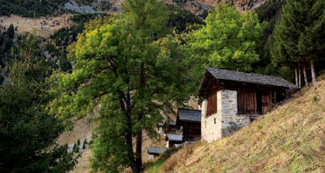
From Soglio to Vest, the route climbs gently, mostly through the forest and past the alpine buildings and pastures of Däir. It then becomes considerably steeper and continues up to the Pass da la Prasgnola, rugged but well marked. During the ascent, we are accompanied by a good view of the other side of the Val Bregaglia, especially of the mountains of the Val Bondasca.
From the pass, the route continues along a wide, stony ridge to the summit of Pizzo Galleggione.
Sicherheitshinweis
The tour is not technically challenging, but it does require a high level of fitness. And the last section to the summit is without a marked path.
Wegbeschreibung
From Soglio, we follow the forest road that leads west above the village. After about a kilometre, just before the road ends at the EWZ building, the route turns right and initially heads west and then north, crossing the forest to the Däir and Läira clearings. Here it becomes steep and the path climbs steeply up to the Prasignola Pass (2724 m).
To reach Pizzo Galleggione, we turn left (west) at the pass and follow the path close to the ridge. A first ascent leads to a hill from which you can see the summit of Pizzo Galleggione. Without major difficulties, we continue through the scree fields, rewarded with beautiful panoramic views, and so we reach the summit (3108 m). The return journey is along the same route.
Verantwortlich für diesen Inhalt Bregaglia Engadin Turismo.
Dieser Inhalt wurde automatisiert übersetzt.

Diese Webseite nutzt Technologie und Inhalte der Outdooractive Plattform.
