
Isel riding route
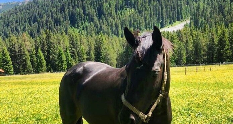
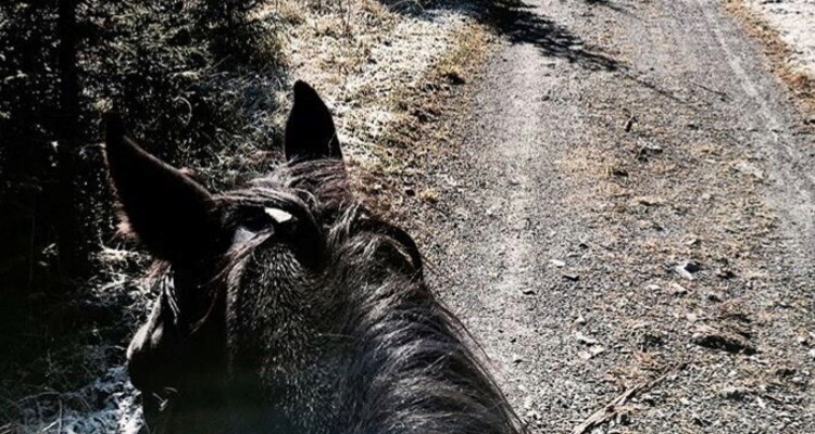
4 Bilder anzeigen
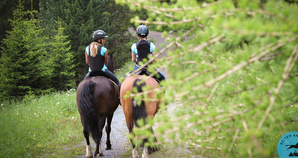
The scenic circular route leads along the idyllic Plessur stream, to the peaceful reservoir, up to the Untersee beach and then back to Isel.
Details
Beschreibung
You first ride along the Plessur to the fire pit. Then cross the river at a suitable place. On the other side of the river, follow the path toward the reservoir. If you want to deviate from the hiking trail, you can also simply ride on the cross-country ski tracks. Then follow the left path that runs along the reservoir. Then you come to the path that leads to Litzirüti. There you can take either the first or second junction. The second junction extends the circular route by about 10-15 minutes.
On the path, you have to cross a railway track. Once past that, ride up the path to Untersee beach. Finally, follow the road down, which leads back to Isel.
Geheimtipp
- Jakob Meier Horse Stable: +41 79 223 61 64
Sicherheitshinweis
- At two points you cross a railway track, so you must watch for trains. Also, the path up to the beach runs alongside the railway track for a while.
- The path up to Untersee beach is a good galloping track. Since it is also a hiking trail (very winding), you must pay close attention to hikers to avoid unpleasant encounters.
- The road down to Isel is frequently used by trucks. The horse must be traffic-proof.
Ausrüstung
- Standard riding equipment
- Riding helmet
- Body protector
Wegbeschreibung
Follow the road from the Untersee beach along to Isel. Do not turn off to the reservoir.
Anfahrt
Öffentliche Verkehrsmittel
Parken


Verantwortlich für diesen Inhalt Arosa Lenzerheide.

Diese Webseite nutzt Technologie und Inhalte der Outdooractive Plattform.