
Lagh Doss - winter itinerary

4 Bilder anzeigen
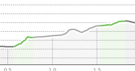
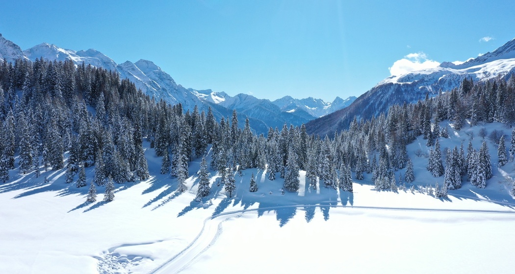
A walk of about half an hour that will take you from the heart of San Bernardino to a beautiful alpine lake, crossing snowy trails immersed in unspoiled nature.
Details
Beschreibung
Starting from the center of the village, the route initially follows the Moesa river, running alongside it until reaching the cantonal road. Once crossed, continue straight for about ten minutes to a charming group of chalets. From here, the trail develops behind the snow-covered houses along Fornas road, leading to Lagh Doss, a small alpine lake completely covered with snow during winter, offering a scene of extraordinary peace and natural beauty.


Verantwortlich für diesen Inhalt Ente Turistico Regionale del Moesano (ETRM).

Diese Webseite nutzt Technologie und Inhalte der Outdooractive Plattform.