
Mädems Trail
7 km
3:30 h
400 Hm
400 Hm
11 Bilder anzeigen
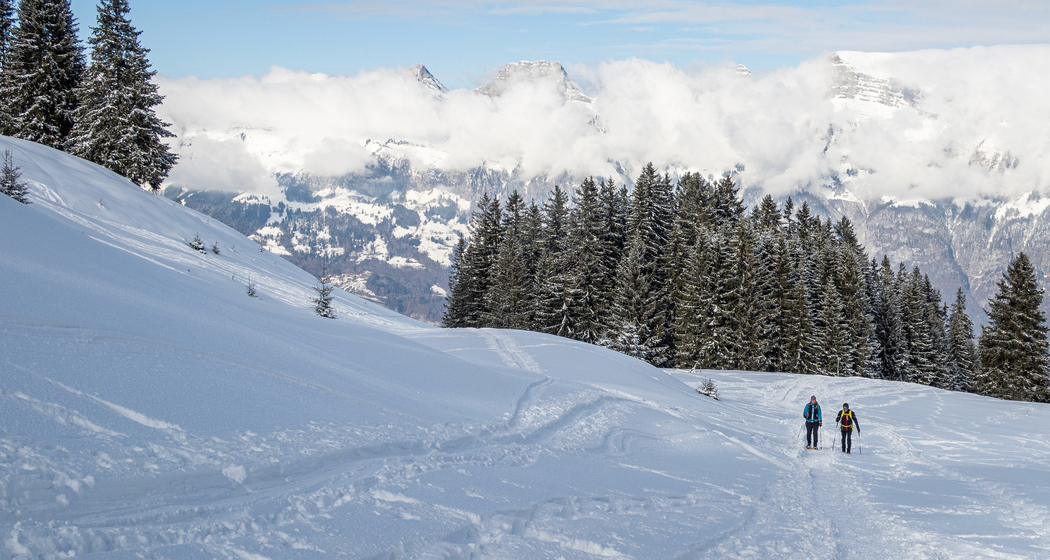
A magnificent view of the Churfirsten mountain chain welcomes you to Flumser Kleinberg. Far away from the Flumserberg bustle on the opposite side of the mountain, the trail leads up through open forest clearings into the basin of Mädems. At the foot of Pfufisegg we go back to the other side and mostly downhill.
Beste Jahreszeit
Jan
Feb
Mär
Apr
Mai
Jun
Jul
Aug
Sep
Okt
Nov
Dez
Start
Flums, Berghotel Schönhalden
Ziel
Flums, Berghotel Schönhalden
Koordinaten
47.06257051619, 9.3308235898253
Details
Beschreibung
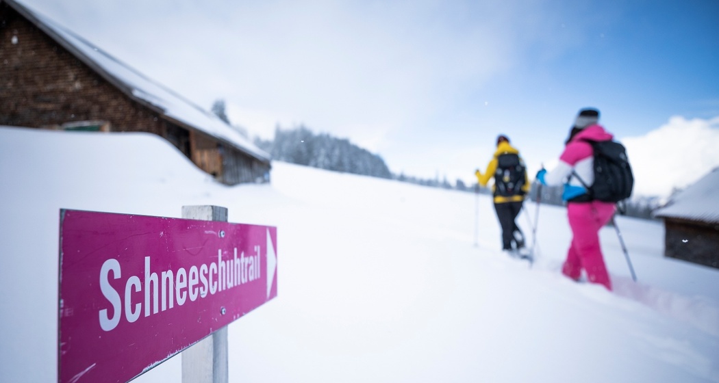
The original area is a hidden gem for nature lovers. The Alvier chain and the Churfirsten peaks appear on the horizon. From Berghotel Schönhalden, the trail gently ascends over snowy meadows and through forests. Once the height of the wall at the water reservoir is reached, you can look over the Sarganserland. Leaving the forest once provides a wide, open moor and alpine landscape of Fulriet/Mädems. Below the eastern foothills of the Guscha and the Wisswand, you continue with a slight incline. At the top, the Alp Mädems Hintersäss appears in the background. To the left: the Pfufisegg; under safe conditions, a detour to the viewpoint is worthwhile. The trail descends to the alpine buildings and turns there. On the other side, you now walk to Alp Mädems Vorsäss and from there straight down towards Alp Schwarzenberg. Slightly above, the path branches off, crosses the Röllbach and returns gently uphill to the starting point.
Geheimtipp
At the destination, the cozy Berghotel Schönhalden awaits you.
Sicherheitshinweis
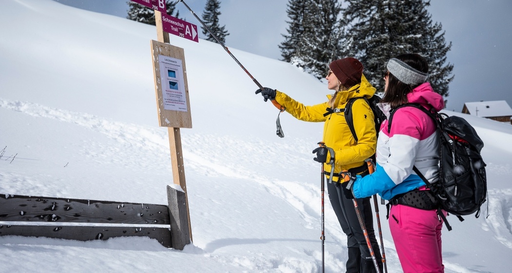
Due to snow conditions, the locally signposted path may differ from the information on the web map. In case of doubt, follow the local signage.
Ausrüstung
Snowshoes can be rented at Berghotel Schönhalden. Please reserve in advance.
Wegbeschreibung
The path is well marked.
Anfahrt
Öffentliche Verkehrsmittel
By train to Flums, then by bus towards Flumserberg-Kleinberg to the Flumserberg-Saxli stop. Then take the cable car to the Schönhalden mountain station.
Anreise Information
Take the Flums highway exit, then on the main road towards Flumserberg-Kleinberg to the Schönhalden cable car station.
Parken
Public parking is available at the Schönhalden cable car station.
Verantwortlich für diesen Inhalt SwitzerlandMobility.