
Maloja - Lunghin Watershed - Casaccia
4 Bilder anzeigen
Hike up from Maloja to the three-part watershed and descend into the Bergell following the traces of the Romans
Details
Beschreibung
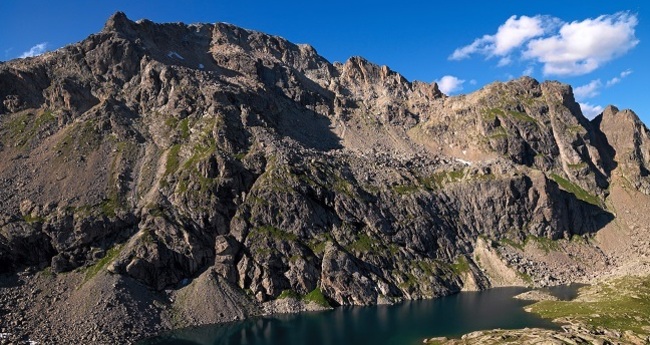
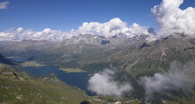
The hiking trail starts between the Maloja Palace Hotel and the Post Office. Passing Pila, the trail winds ever higher up the steep slope. Occasional rests are worthwhile because the view over the Upper Engadine lake district and the magnificent Engadine and Bergell peaks is breathtaking. After numerous loops, you reach the Lägh dal Lunghin. The path follows the shore of the lake before ascending again to the Lunghin Pass. Here there is a three-part watershed: the Inn, which flows through the Engadine and then into the Danube towards the Black Sea; the Julia, which flows with the Rhine into the North Sea; and the Maira, which flows with the Po into the Adriatic Sea. The trail continues over a plateau to the Septimer Pass. This pass was already used by the Romans. You can still partially see carved traces from their ox carts. The path first descends gently before dropping steeply down to the river. Following the Alpstrasse, you reach Casaccia.
Further information
Engadin Tourismus AG
Via Maistra 1
CH-7500 St. Moritz
Phone: +41 81 830 00 01
Email: allegra@engadin.ch
Internet: www.engadin.ch
Geheimtipp
Instead of steeply descending to Casaccia, a hiking trail leads out of the valley towards Bivio (pay attention to the departure times of the Postbus).
Wegbeschreibung
Maloja - Pila - Lägh dal Lunghin - Septimer Pass - Casaccia
Anfahrt
Öffentliche Verkehrsmittel


Verantwortlich für diesen Inhalt Engadin Tourismus AG.

Diese Webseite nutzt Technologie und Inhalte der Outdooractive Plattform.