
Marguns - Celerina

7 Bilder anzeigen
Details
Beschreibung
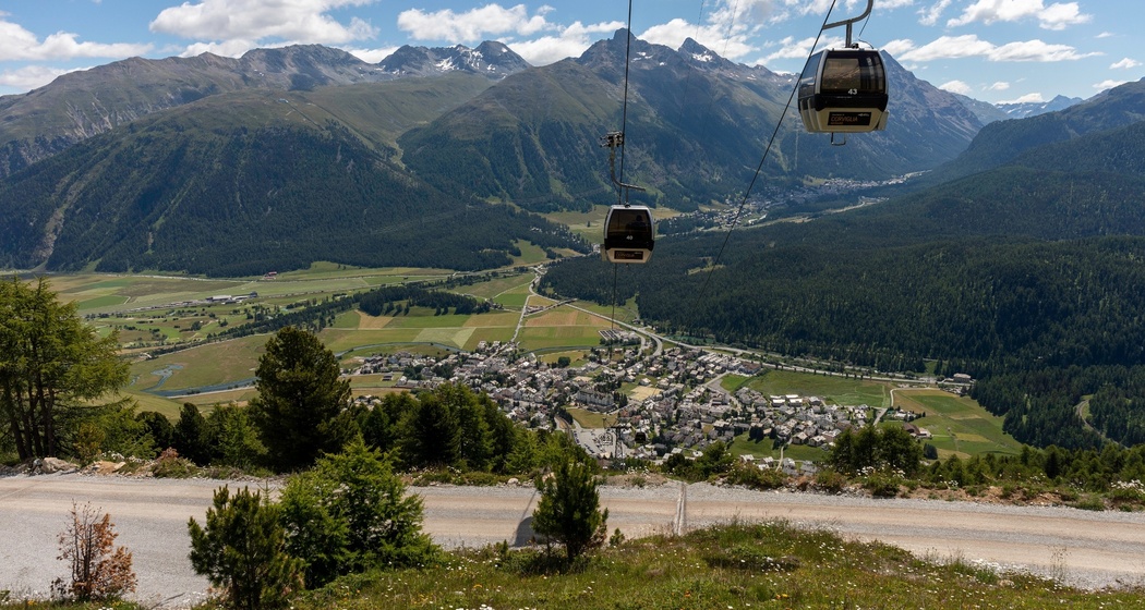
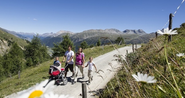
Every child in the Engadin knows the three rock needles of Marguns. For the “Trais Fluors,” as the distinctive rock formation is called in Romansh, are actually petrified miracle flowers. The family-friendly hike starts at the Marguns mountain station (2278 m) and takes a comfortable 90 minutes following the wide path down to Celerina.
More information
Engadin Tourism AG
Via Maistra 1
CH-7500 St. Moritz
Phone: +41 81 830 00 01
E-mail: allegra@engadin.ch
Website: www.engadin.ch
Geheimtipp
Marguns rents out scooters for the ride to Celerina.
Wegbeschreibung
Anfahrt
Öffentliche Verkehrsmittel
Take the Engadin Bus to Cresta Palace stop
Take the Rhaetian Railway to Celerina station


Verantwortlich für diesen Inhalt Engadin Tourismus AG.

Diese Webseite nutzt Technologie und Inhalte der Outdooractive Plattform.