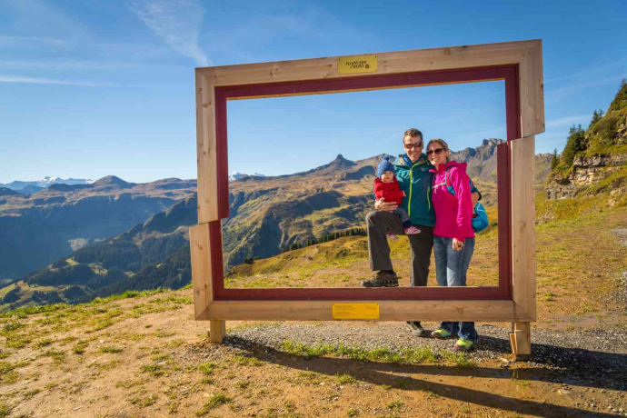
Maschgenkamm trail 466
9 Bilder anzeigen
Details
Beschreibung
The Outdoor Fitness Trails in the Heidiland vacation region comprise over 30 uniformly signposted running trails from a total of 10 stations, forming one of the largest outdoor fitness parks in the Alps. The Maschgenkamm Trail is one of five running trails around the Flumserberg station.
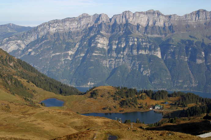
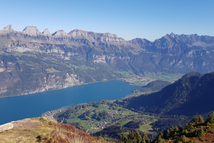
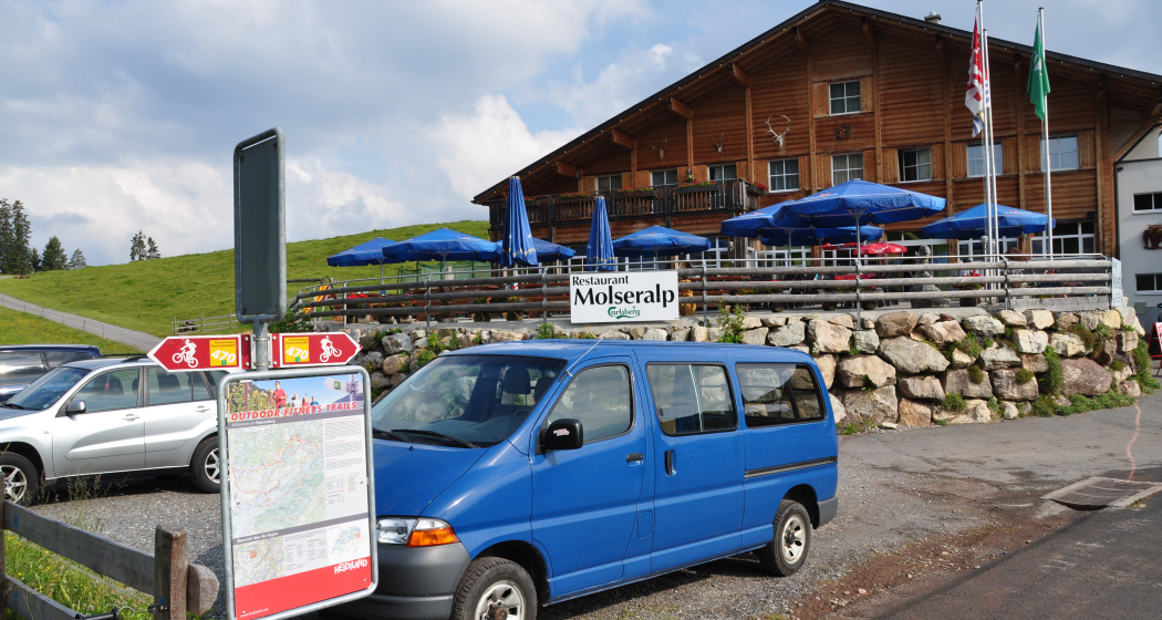
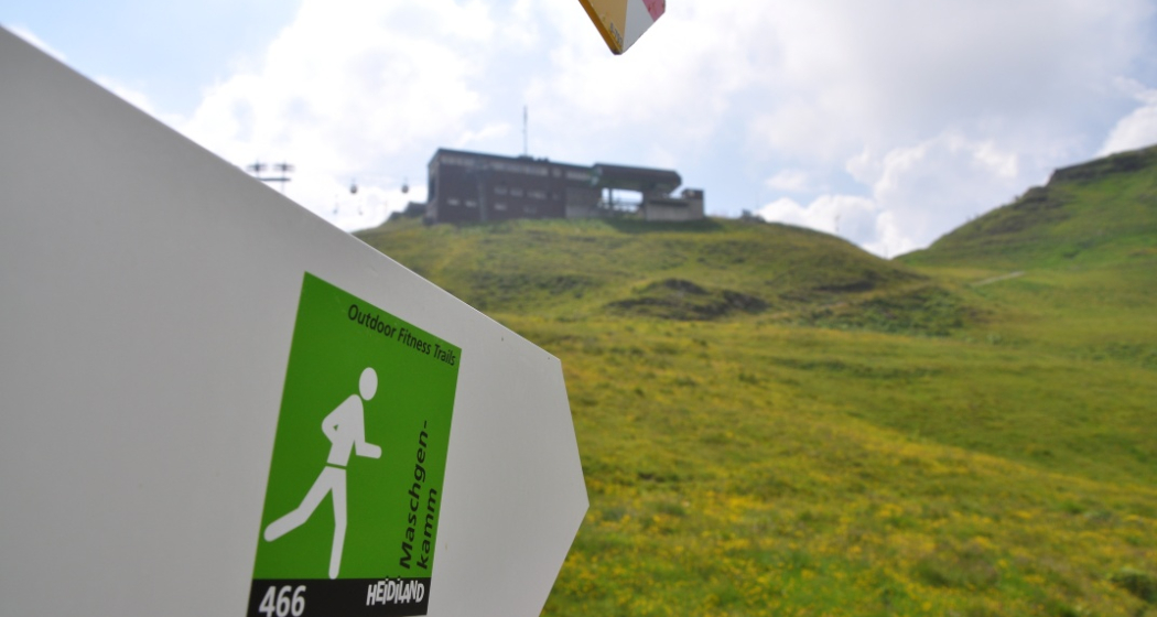
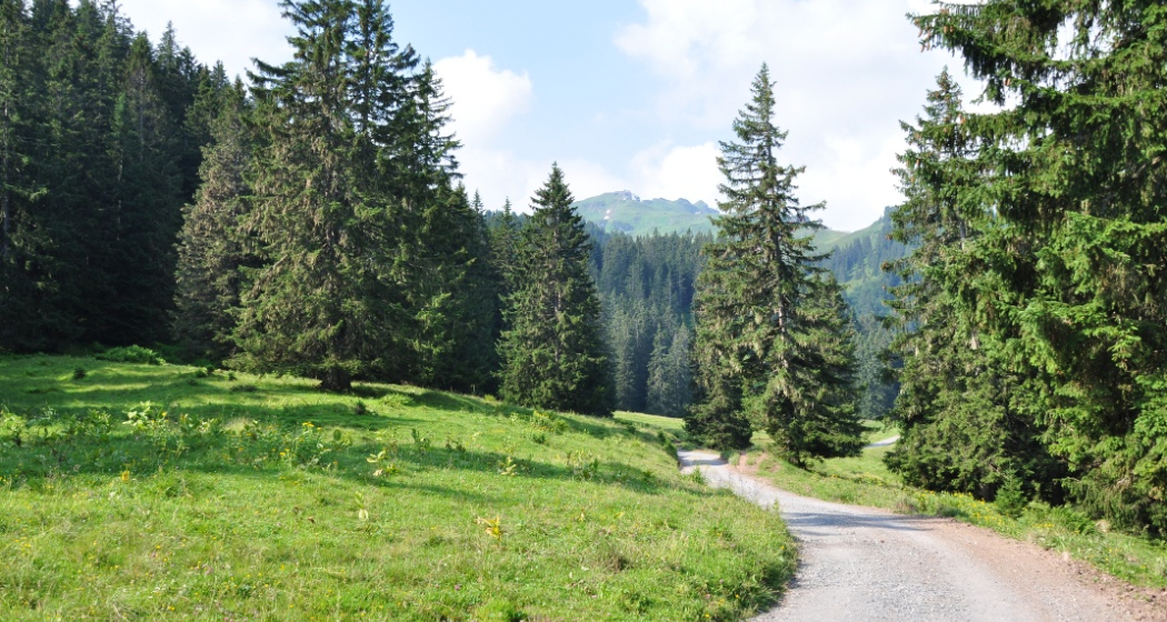
The starting point for this 8.2 km trail is the Flumserberg station info point at the Molseralp restaurant above the Maschgenkamm valley station (1391 m above sea level). Like the Winkelzahn Trail, the first part of the route leads to the Winkelzahn clearing (1554). The well-maintained alpine trail leads across alpine meadows, through short forest passages and past a small raised bog. From Winkelzahn, a partly steep ramp leads in the direction of Katzenberg / Seebenalp. The effort is worth it, as the ascent offers a magnificent view of the imposing Churfirsten peaks and the turquoise-blue Walensee lake. From Katzenberg, the trail then leads down to Seebenalp (1622) and past the three idyllic lakes of Schwarzsee, Grosssee and Heusee. After this short break along the lakes, there is another steep climb that will make trail runners' hearts beat faster. A hiking trail leads to the Chli Güslen (1868) and the Cuncels (1935). As the hiking trail now leads down to Heldloch (1845), you have time to enjoy the magnificent mountain panorama and the view of the valley - and to recover. This is because the steep ascent up to the Maschgenkamm (2019) follows at the end. The gondola lift takes you down to the valley.
Geheimtipp
Ausrüstung
Wegbeschreibung
Anfahrt
Öffentliche Verkehrsmittel
Anreise Information
Parken
Public parking spaces available at Tannenboden.
The parking lots are chargeable from 07.00 to 17.00. From 17.00 to 02.00 we are allowed to leave the car free of charge.
After 02.00 to 07.00 there is a night parking ban. There are plenty of parking spaces at night in the Tannenboden parking garage or in the Tannenheim.
The night parking lot can be used for a fee, but camping is prohibited.
Verantwortlich für diesen Inhalt Heidiland Tourism Ltd..

Diese Webseite nutzt Technologie und Inhalte der Outdooractive Plattform.
