
Mittagsplatte
7 Bilder anzeigen
Details
Beschreibung
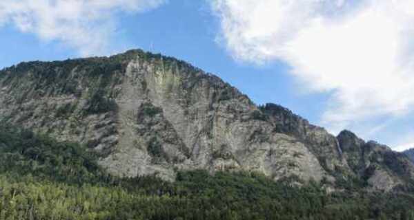
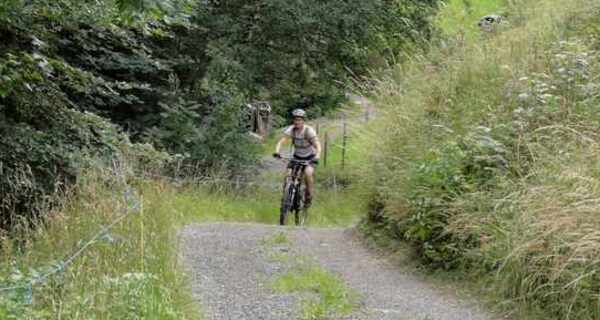
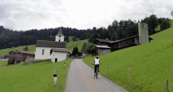
The ascent takes place on a little-used mountain road and later traverses on a forest path to Unter Valzeina. Another short climb on a mountain road leads to the Mittagsplatte, which lies like an eagle's nest above the Bündner Rheintal and offers a magnificent view. For the descent, first ride back a short stretch before a relatively steep trail branches off to the left. This trail is especially demanding in the upper section and only rideable by technically skilled bikers (after 5 - 10 minutes of pushing, the trail becomes flatter and easier). Later it joins a forest road, which is followed down to the village of Zizers. The return ride to Landquart is along the Rhine dam; the section between Zizers and Landquart runs on a well-rideable trail.
Geheimtipp
Sicherheitshinweis
Ausrüstung
Wegbeschreibung
Anfahrt
Öffentliche Verkehrsmittel
Anreise Information
Parken

Verantwortlich für diesen Inhalt Heidiland Tourism Ltd..

Diese Webseite nutzt Technologie und Inhalte der Outdooractive Plattform.