
Mota d'Anzala - winter route
Mittel
6 km
1:40 h
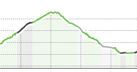
178 Hm
224 Hm
6 Bilder anzeigen
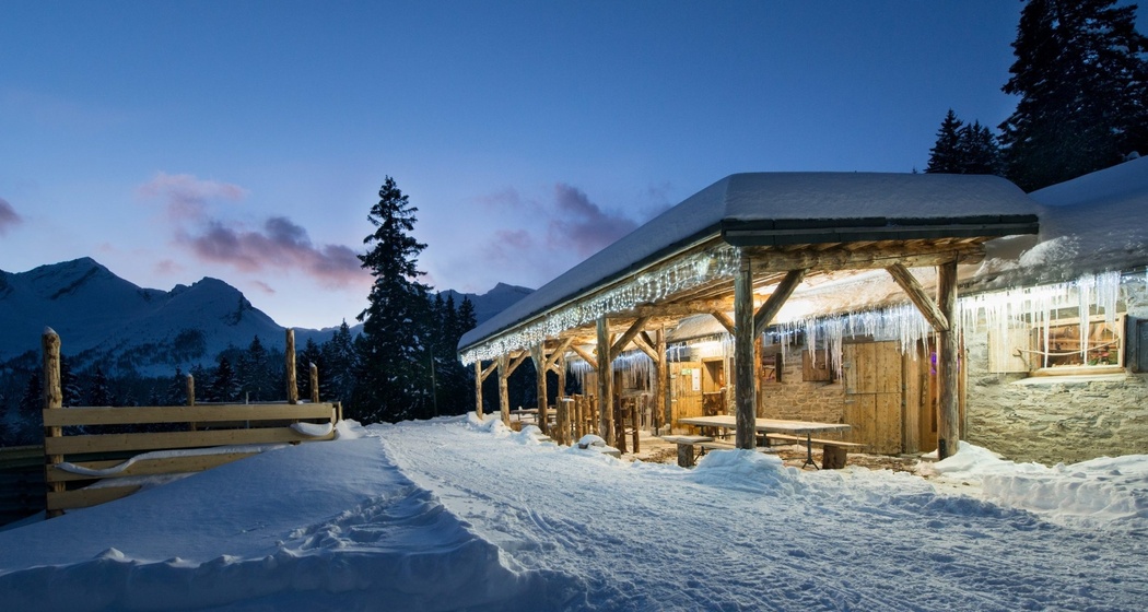
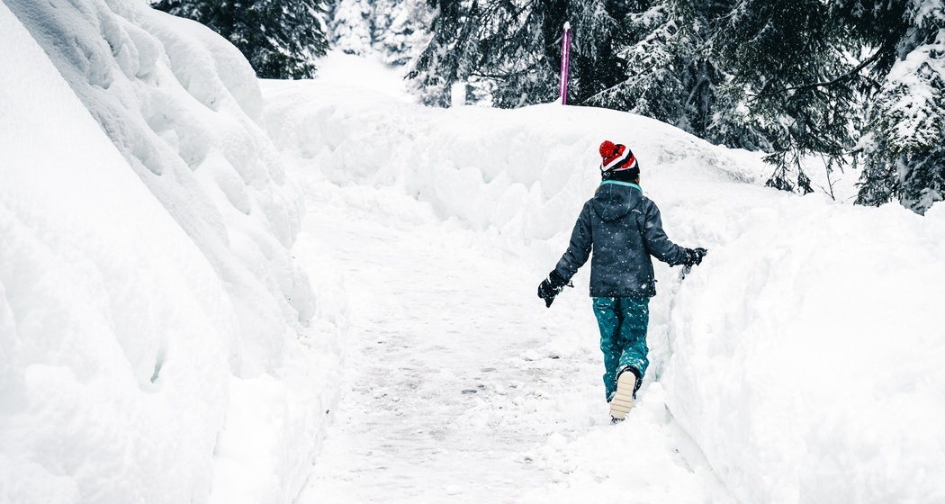
From the village, head towards Lake Doss. From here, you ascend towards Alpe Piandoss, following the "valley of Silence" and then rejoin the route leading back to the village of San Bernardino.
Beste Jahreszeit
Jan
Feb
Mär
Apr
Mai
Jun
Jul
Aug
Sep
Okt
Nov
Dez
Start
Moesa parking (behind Denner supermarket)
Ziel
Moesa parking (behind Denner supermarket)
Koordinaten
46.462619, 9.190809
Details
Beschreibung
From the Moesa Riverbank, after following the cross-country skiing trail, you enter the forest and shortly reach the Conchetta area. From here, a pleasant mostly flat path leads to Lake Doss, one of the most scenic spots in San Bernardino. The path then ascends towards Alpe Piandoss. After traveling a stretch of the so-called "valley of Silence," the path branches off. Following the San Bernardino sign, after crossing Motta d'Anzala and beginning the descent through the forest, you reach Conchetta again, from where the village can be reached in a short time.
Wegbeschreibung
From the Moesa Riverbank, after following the cross-country skiing trail, you enter the forest and shortly reach the Conchetta area. From here, a pleasant mostly flat path leads to Lake Doss, one of the most scenic spots in San Bernardino. The path then ascends towards Alpe Piandoss. After traveling a stretch of the so-called "valley of Silence," the path branches off. Following the San Bernardino sign, after crossing Motta d'Anzala and beginning the descent through the forest, you reach Conchetta again, from where the village can be reached in a short time.
Anfahrt
Öffentliche Verkehrsmittel
PostBus 62.214
PostBus 90.171
Anreise Information
Moesano PostBus or Chur-Bellinzona Eilkurse
Highway A13 - San Bernardino exit
Parken
Moesa parking


Verantwortlich für diesen Inhalt Ente Turistico Regionale del Moesano (ETRM).

Diese Webseite nutzt Technologie und Inhalte der Outdooractive Plattform.