
Nature experience Feldis - Erratic boulder
4 Bilder anzeigen
Details
Beschreibung
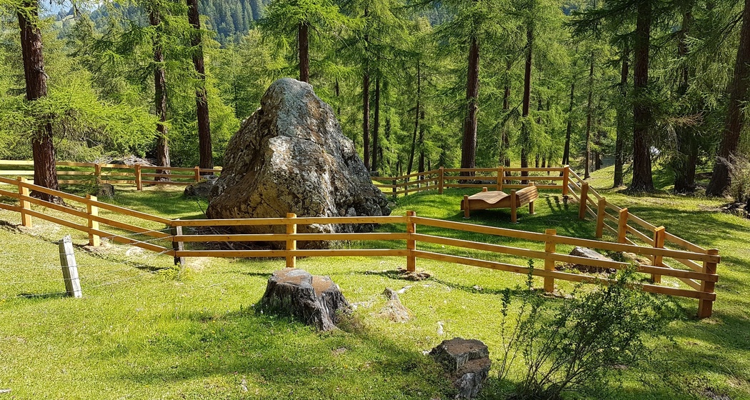
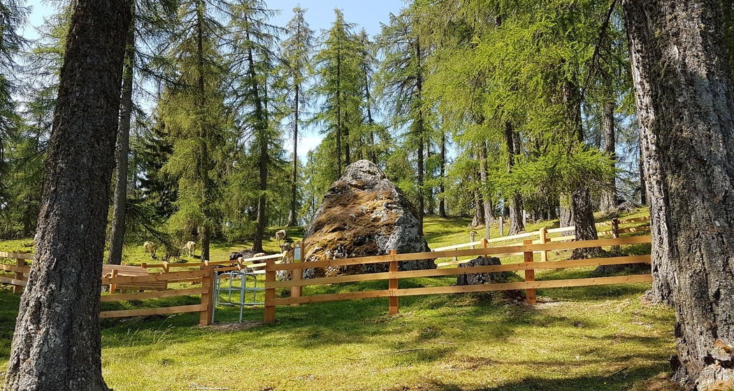
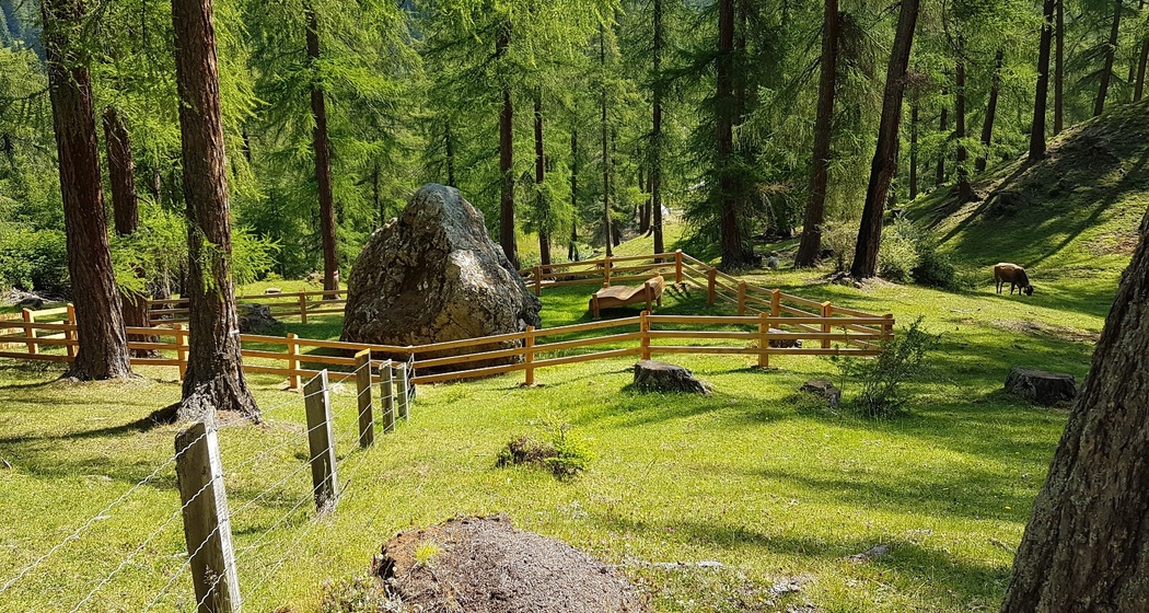
Until just over 10,000 years ago when the last major ice age ended, gigantic glaciers covered the area of present-day Graubünden. However, the glaciers were not rigid but moved due to their own weight. Sometimes they carried ton-heavy boulders with them. One such erratic boulder was deposited by the Albula glacier near Feldis. Until modern times, this erratic block served as a so-called "Term", a boundary stone between the villages of Feldis and Scheid.
Wegbeschreibung
Anfahrt
Öffentliche Verkehrsmittel
Feldis is accessible by the aerial cableway from Rhäzüns or by the PostAuto from Tomils. For more information on the timetable, please visit the SBB website: www.sbb.ch.
Anreise Information
Feldis
Take exit 20-Rothenbrunnen on the A13. Then follow the signs to Tomils via the cantonal road to Feldis.
Rhäzüns (Aerial Cableway Rhäzüns - Feldis)
From the north on the A13 towards San Bernardino take exit 19-Bonaduz. From the south on the A13 towards Chur take exit 20-Rothenbrunnen. Then follow the signs to Rhäzüns.
Plan your journey to Feldis with the Google route planner.
Plan your trip to the valley station of the aerial cableway Rhäzüns - Feldis with the Google route planner.
Parken


Verantwortlich für diesen Inhalt Viamala Tourism.

Diese Webseite nutzt Technologie und Inhalte der Outdooractive Plattform.