
Padella-Corviglia-Panorama route, adapted for e-mountain biking
4 Bilder anzeigen
Details
Beschreibung
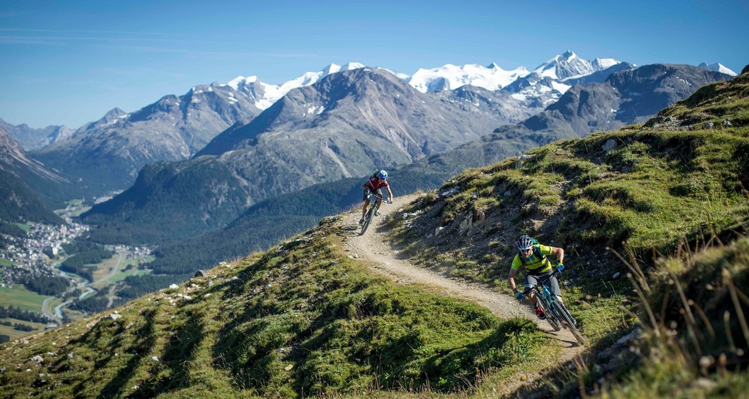
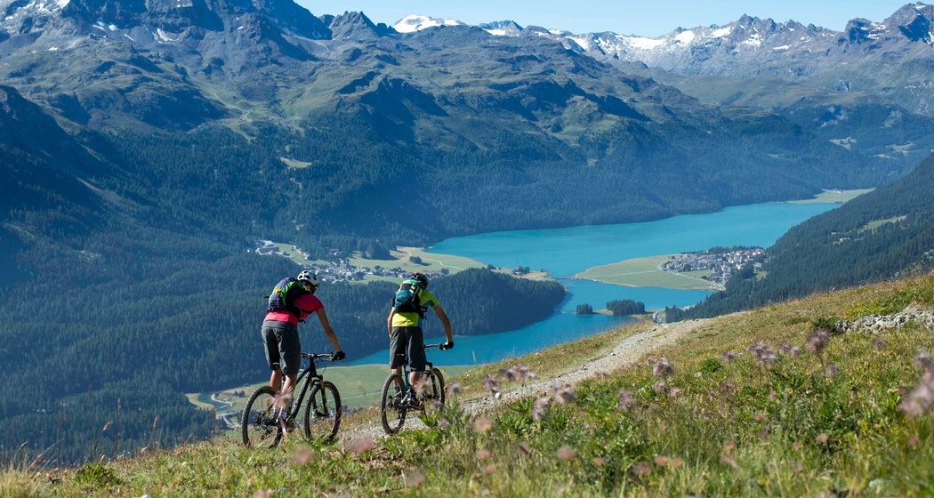
The entire circular route is marked in one direction, counterclockwise, and can be started and finished at any point. Officially, the route starts in Celerina, leads to Samedan and up to Alp Muntasch. There, the large Panorama Trail begins below Piz Padella and Trais Fluors to Marguns. Via Corviglia, it continues towards Val Suvretta, where the Foppettas Flow Trail leads down to Champfèr and along the lake to Silvaplana. On the opposite valley side at Surlej, it goes over Lej Nair (moor lake), St. Moritz Bad, and Alp Staz back to Celerina. Along the way, you continuously encounter junctions to and from branches to further trails, giving an impression of the extent of the mountain bike trail network of Engadin St. Moritz.
Further information
Engadin St. Moritz Tourism AG
Via Maistra 1
CH-7500 St. Moritz
Phone: +41 81 830 00 01
Email:
Internet: www.engadin.ch
Geheimtipp
Wegbeschreibung


Verantwortlich für diesen Inhalt Engadin Tourismus AG.

Diese Webseite nutzt Technologie und Inhalte der Outdooractive Plattform.