
Panorama route (Gotschnagrat - Davos Platz)

7 Bilder anzeigen
Details
Beschreibung
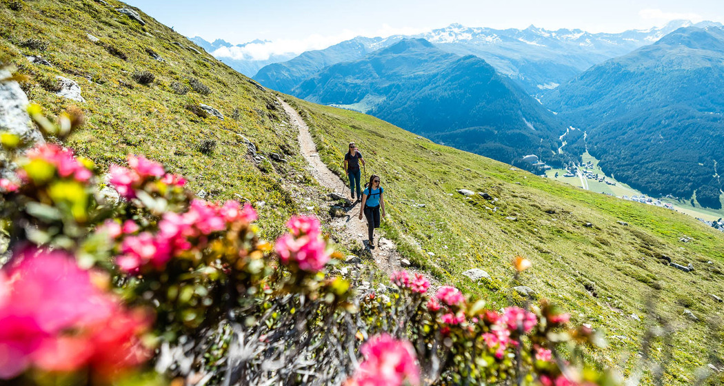
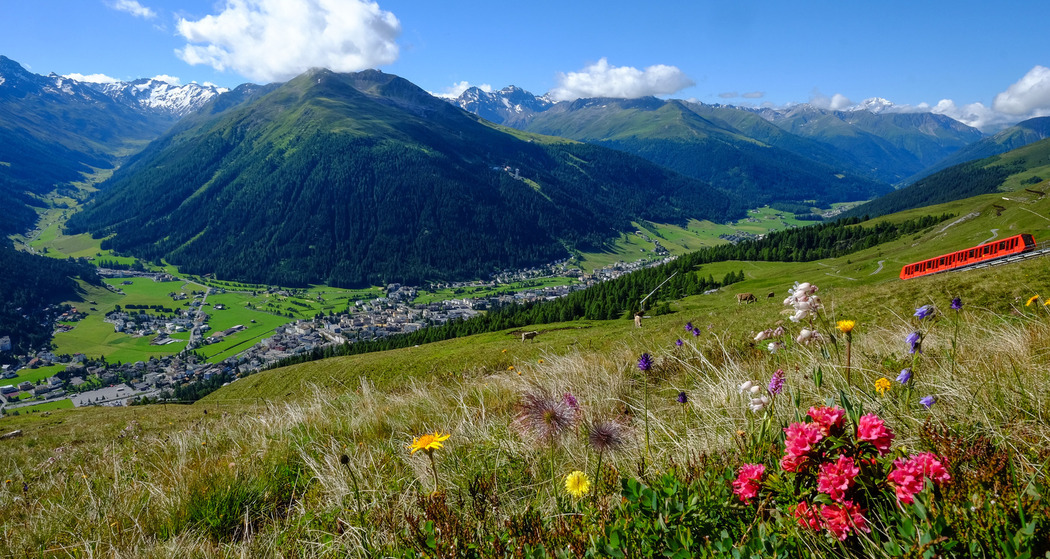
The starting point of the hike with fantastic mountain panorama is the Gotschnagrat, which can be easily reached from Klosters Platz by the Gotschna cable car. The path leads below the Grüenhorn to the well-known Parsenn hut, from where it continues to Totalp and into the Meierhofer Tälli. After circling the Salzer Horn and traversing the Dorftälli, the highest point of the tour follows after a slight ascent at the Strelapass. Afterwards, it goes down over the Schatzalp with its historic hotel to Davos Platz.
Summer toboggan run Schatzalp
The 500 meter long run offers fast descents on special sleds.
Alpinum Schatzalp
Discover over 3,500 different plant species from all mountain ranges of the world.
Note(s)
In Davos Klosters, hikers and mountain bikers use the same trails without restrictions. This applies to the entire canton of Graubünden and is unique in the Alps.
See also
Destination Davos Klosters
Davos Destinations-Organization (Cooperative)
Talstrasse 41
CH-7270 Davos Platz
Tel: +41(0)81 415 21 21
E-Mail: info@davos.ch
Website: www.davos.ch
Sicherheitshinweis
Wegbeschreibung
Anfahrt
Öffentliche Verkehrsmittel
Anreise Information
By car to Davos
- Route 28 Landquart - Davos
- Landwasserstrasse Thusis - Davos
Parken


Verantwortlich für diesen Inhalt Destination Davos Klosters.

Diese Webseite nutzt Technologie und Inhalte der Outdooractive Plattform.