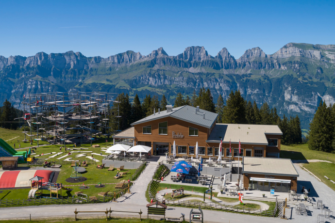
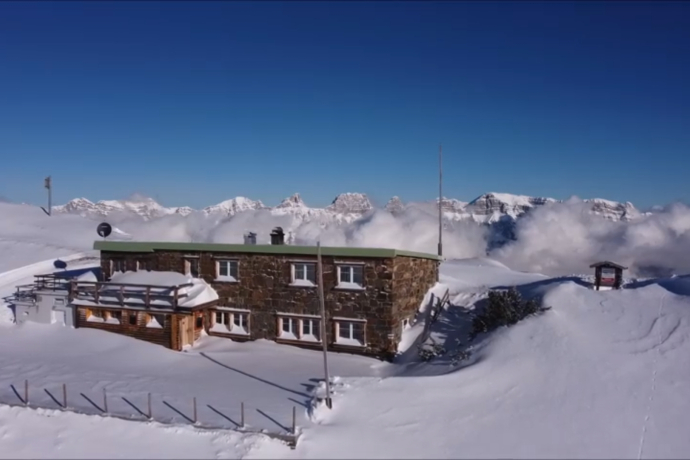
Panüöl trail 465
Mittel
6.6 km
0:45 h
380 Hm
20 Hm
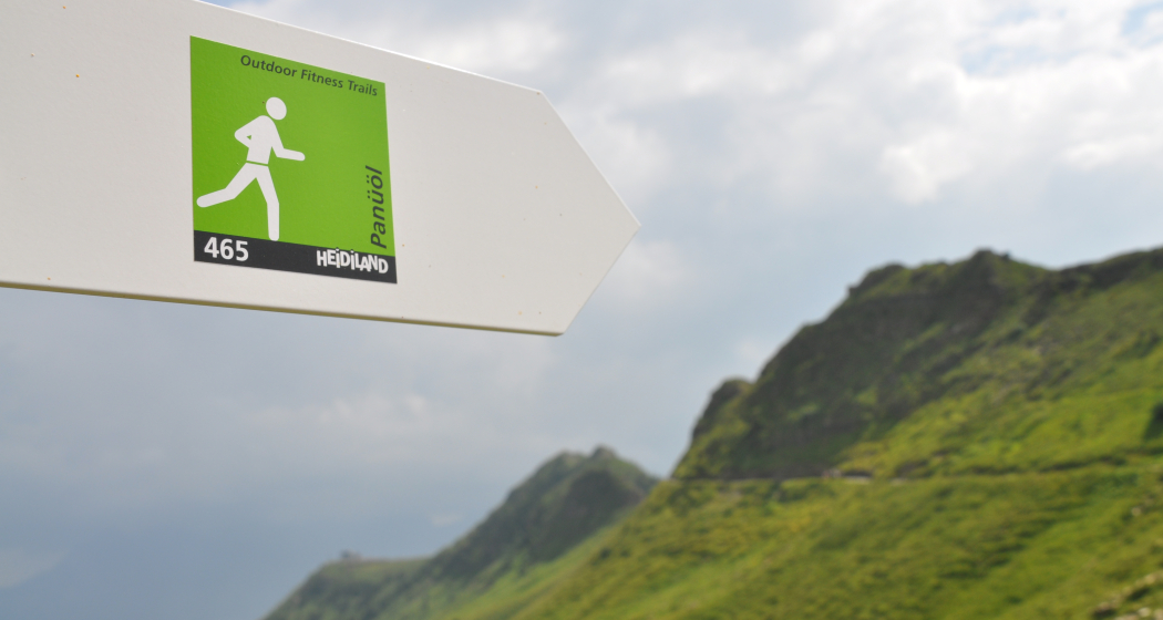
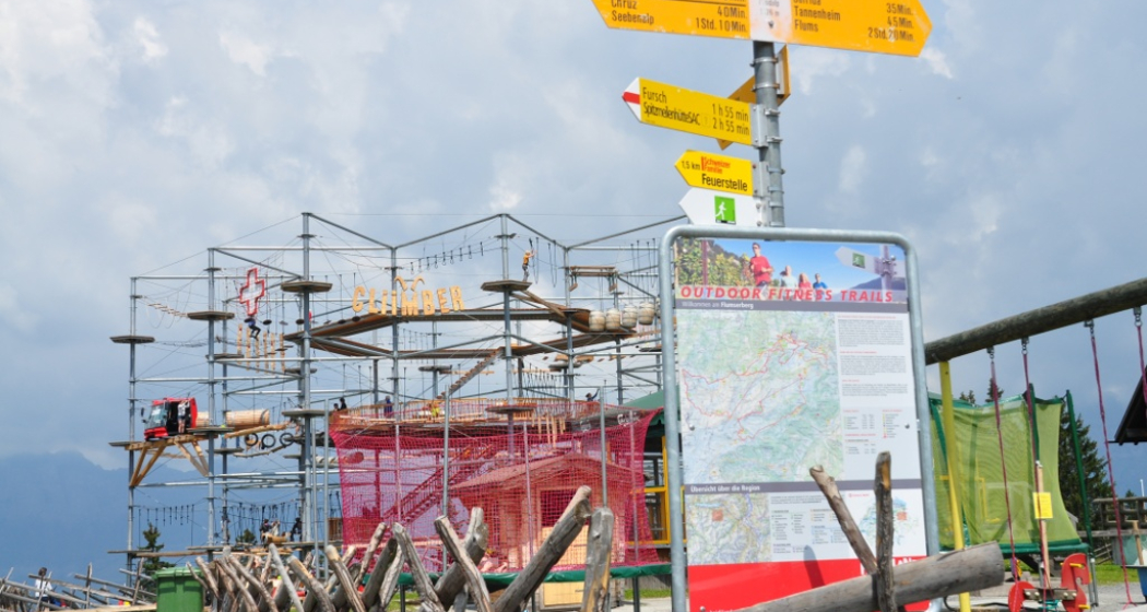
7 Bilder anzeigen
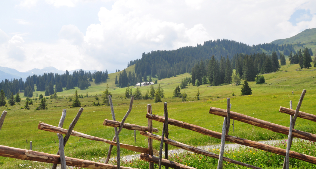
The trail for ambitious runners. The biggest challenge of the Panüöl Trail follows at the end: The ascent from Alp Panüol to Maschgelugge. But the magnificent panorama is compensation enough!
Beste Jahreszeit
Jan
Feb
Mär
Apr
Mai
Jun
Jul
Aug
Sep
Okt
Nov
Dez
Start
Prodalp, info point of the Flumserberg station
Ziel
Prodkamm, Flumserberg
Koordinaten
47.080197, 9.289079
Details
Beschreibung
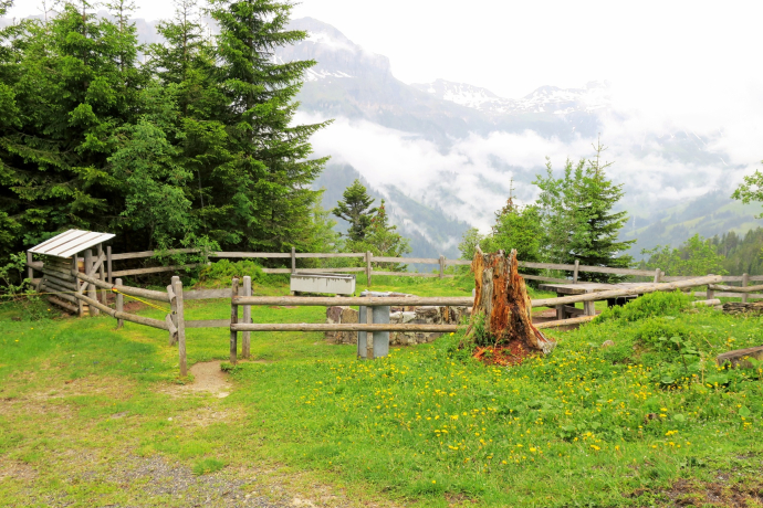
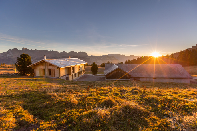
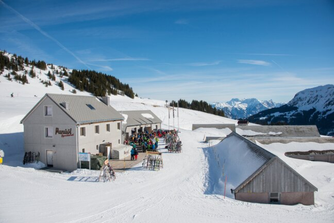
The starting point for this 6.4 km trail is the info point at the Flumserberg station near the playground on the Prodalp (1576 m above sea level). The first few hundred meters on the Prodriet plateau are ideal for warming up, as there is almost no incline. The gentle ascent begins at Prod (1589) and continues for several kilometers up to Alp Panüol (1803). The well-maintained alpine road - which is even paved in places - leads through small forest passages, over cow pastures and past the Rotenberg barbecue station. When you arrive at Alp Panüöl, you are greeted by numerous garden gnomes and other mythical creatures, which are beautifully laid out in a garden. From here, the run-in is definitely over, because from now on it gets really steep in places. On the less well-maintained alpine path, you have to climb over 100 meters in altitude over a relatively short distance to Maschgalugge (1953). Once at the top, you have reached the highest point of the Panüöl Trail and are rewarded with a magnificent view of the Churfirsten peaks and Lake Walen. On the last section of the trail to the Prodkamm mountain station (1939), you can recover from the exertions of the steep ascent. Here the trail leads almost exclusively straight ahead along a well-maintained hiking trail past interesting rock formations.
Geheimtipp
Climb the "CLiiMBER" climbing tower or play a leisurely round of minigolf. All this on the Prodalp.
Ausrüstung
Good and comfortable jogging equipment.
Wegbeschreibung
Prodalp - Alp Panüöl - Maschschgelugge - Prodkamm
Anfahrt
Anreise Information
Take the highway exit Flums and then follow the signs to Flumserberg.
Parken
Public parking spaces are available opposite the Poschti-Lädäli.
The parking spaces are subject to a charge from 07.00 to 17.00. From 17.00 to 02.00 we are allowed to leave the car free of charge.
After 02.00 to 07.00 there is a night parking ban. There are plenty of parking spaces at night in the Tannenboden parking garage or in the Tannenheim.
The night parking lot can be used for a fee, but camping is prohibited.
Verantwortlich für diesen Inhalt Heidiland Tourism Ltd..

Diese Webseite nutzt Technologie und Inhalte der Outdooractive Plattform.
