
Peist – Skihaus Hochwang – Peist
Open
Mittel
12.9 km
4:20 h
714 Hm
714 Hm
3 Bilder anzeigen
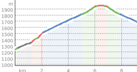
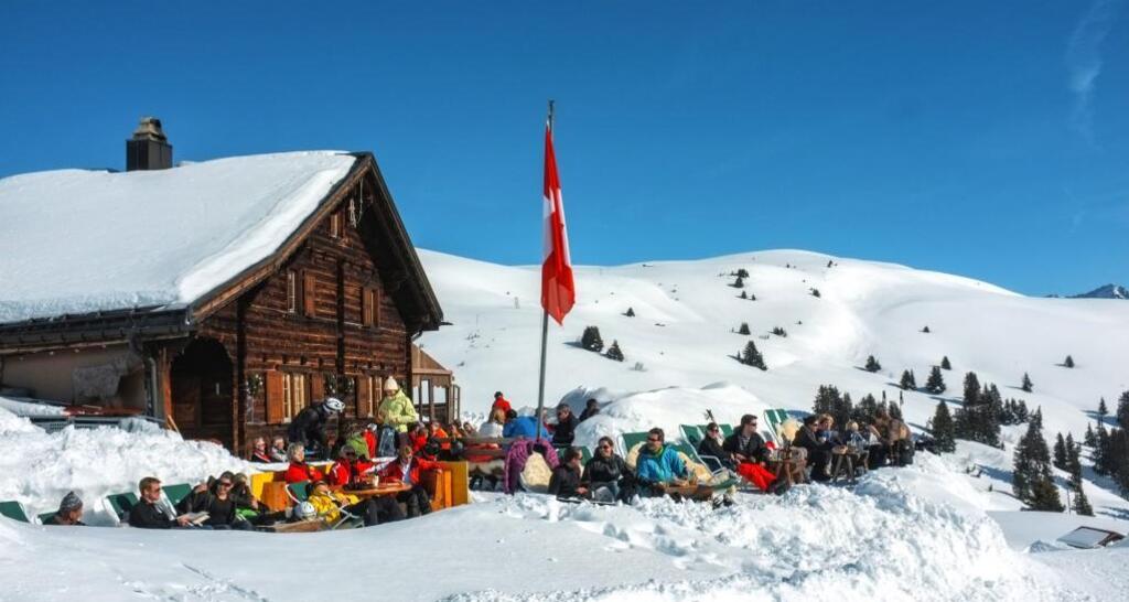
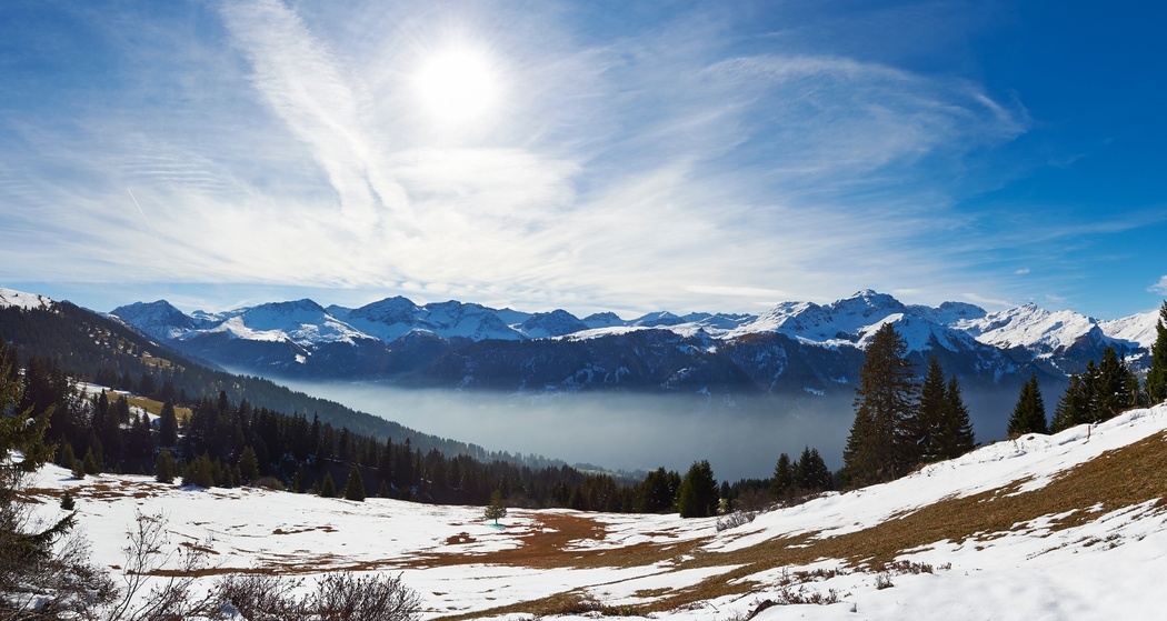
The cozy winter hiking route away from stress and hustle, accessible with just a short walk and simultaneously overcoming an impressive number of meters in altitude.
Beste Jahreszeit
Jan
Feb
Mär
Apr
Mai
Jun
Jul
Aug
Sep
Okt
Nov
Dez
Start
Peist
Ziel
Peist
Koordinaten
46.829686, 9.671644
Details
Beschreibung
From Peist, you can reach the Skihaus Hochwang via a beautiful winter hiking trail and return the same way. Alternatively, continue on to Triemel and then take the chairlift down to Fatschél.
Geheimtipp
Drink a hot Ovo at the Skihaus Hochwang to warm your fingers.
Ausrüstung
Sturdy footwear, warm clothes.
Wegbeschreibung
Peist - Skihaus Hochwang - Peist
Anfahrt
Öffentliche Verkehrsmittel
From Chur, take the post bus to Peist or from Arosa, take the Rhaetian Railway to Peist. You can find the timetable here.
Anreise Information
By car, follow the traffic signs towards Arosa. Peist is located about halfway.
Parken
There are parking spaces available at the Peist train station.


Verantwortlich für diesen Inhalt Arosa Lenzerheide.

Diese Webseite nutzt Technologie und Inhalte der Outdooractive Plattform.