
Prättigauer Höhenweg: stage 4, St. Antönien - Klosters
5 Bilder anzeigen
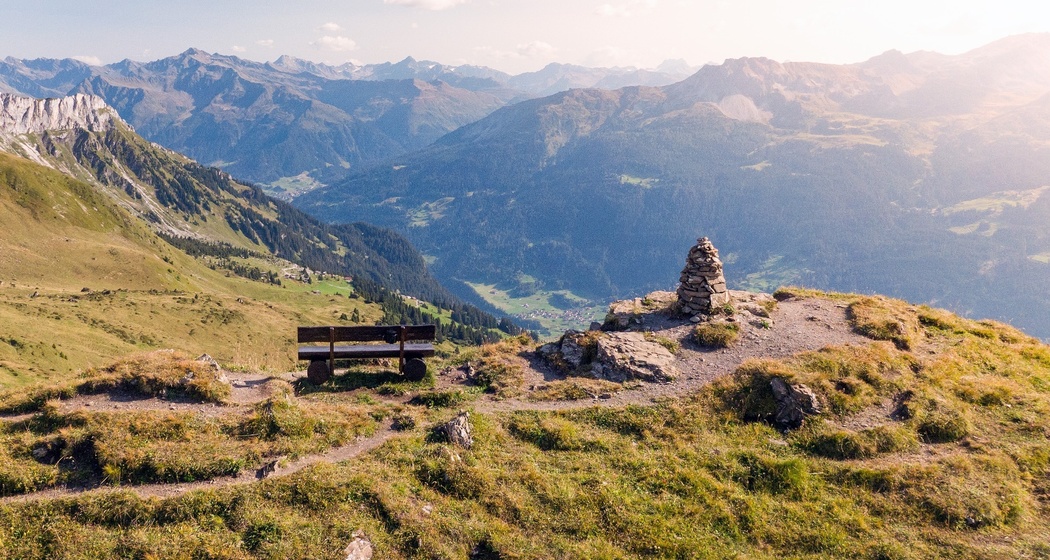
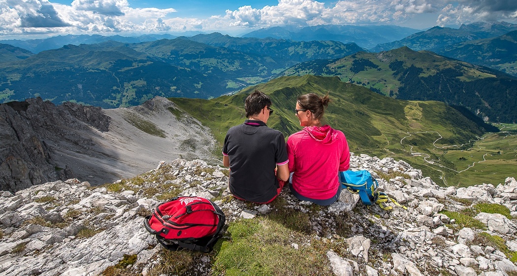
Passing individual farms, follow the Alpbach up to the Jägglisch Horn. At 2,257 meters high, the view sweeps over the Rätikon and the Prättigauer Höhenweg. The subsequent slope crossing leads past the Madrisa-Land adventure park to the upper station of the Madrisabahn. From there, continue past the Schlappintobel down to Klosters.
Details
Beschreibung
After a long ascent over alpine roads and mountain paths up to the Jägglischhorn, the view sweeps over the entire Rätikon and the entire Prättigauer Höhenweg. Gentle descent over mats, past picturesque stables to the mountain station of the Madrisabahn.
Total tour: 72 Prättigauer Höhenweg
Geheimtipp
Those who want to save altitude meters on the descent at the end of the route take the Madrisabahn to Klosters Dorf. (Saves about 750 meters of altitude)
Wegbeschreibung
After a long ascent over alpine roads and mountain paths up to the Jägglischhorn, the view sweeps over the entire Rätikon and the entire Prättigauer Höhenweg. Gentle descent over meadows, past picturesque stalls to the upper station of the Madrisabahn.
From here you have the option to take the Madrisabahn floating down to the valley to Klosters Dorf, which saves about 750 meters of altitude. Or continue the path on foot following the markings to Klosters Platz.
Anfahrt
Öffentliche Verkehrsmittel
Anreise Information
Take the A13 to Landquart, then continue on the national road A28 to Küblis. Shortly after entering the town, turn left and follow Luzeinerstrasse uphill to Luzein, Pany, St. Antönien.
Parken
Paid parking spaces at Küblis station.
In St. Antönien, all parking spaces are chargeable. Payment is possible with cash, Parkingpay app or Twint. The last parking lot P6 with day ticket is located below the Partnunstafel, about 3.5 km outside St. Antönien.


Verantwortlich für diesen Inhalt Prättigau Marketing.

Diese Webseite nutzt Technologie und Inhalte der Outdooractive Plattform.