Rheinwald Route

6 Bilder anzeigen
Details
Beschreibung
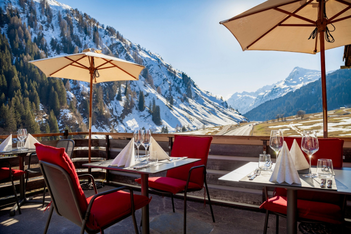
Although the Romans already used the pass routes over the Splügen and San Bernardino passes frequently, Rheinwald was sparsely settled by Romans until the High Middle Ages. In the 13th century, the Walser settled here. Their language and culture still shape the valley today, where there once was lively packhorse traffic towards Splügen Pass or the San Bernardino Pass.
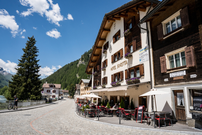
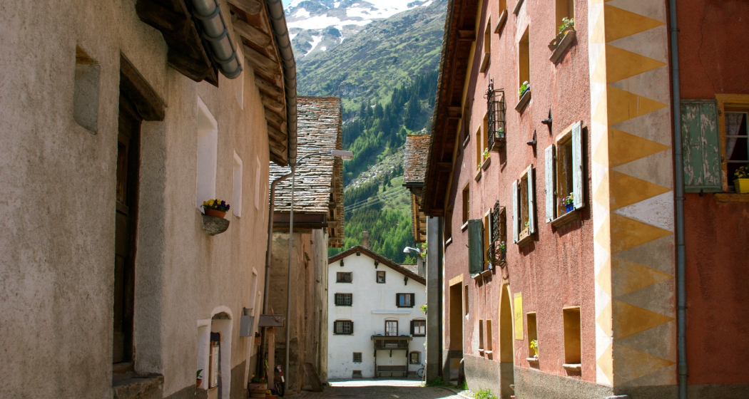
The circular route starts in the packhorse village of Splügen at the foot of the Splügen Pass, a typical mountain pass village with sun-browned Walser houses and proud palazzi.
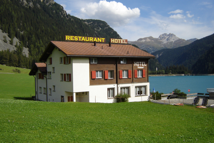
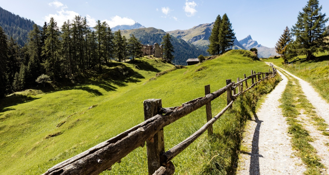
On the left side of the Hinterrhein, we drive past the castle ruin of Splügen, the only one in the valley, to Sufers, where we cross the dam. The route leads along the lake shore through the Göriwald back to Splügen.
We stay on the right side of the river and continue upstream from Splügen via Tamboboden to Nufenen. Upon arrival in Nufenen, we cross the Hinterrhein and return on the left riverbank leisurely via Medels to Splügen.
Optionally, the circuit can be extended to the village of Hinterrhein and only in Hinterrhein switch to the left riverbank.
Geheimtipp
- Packhorse village Splügen with award-winning village scenery
- Dairy Splügen
- Dairy Sufers
- Dairy Nufenen
Wegbeschreibung
Anfahrt
Öffentliche Verkehrsmittel
Splügen is accessible by post bus (stop Splügen, village). Further information and timetable details are available at www.sbb.ch.
Anreise Information
Take exit no. 28 Splügen/Splügen Pass on the A13, then follow the signs to the public parking. Plan your arrival to Splügen with the Google route planner.
Parken
Large public parking at the bus stop Splügen-village (Google Maps location).
Verantwortlich für diesen Inhalt SwitzerlandMobility.
