
Rhine Gorge-Sagogn (243)
4 Bilder anzeigen
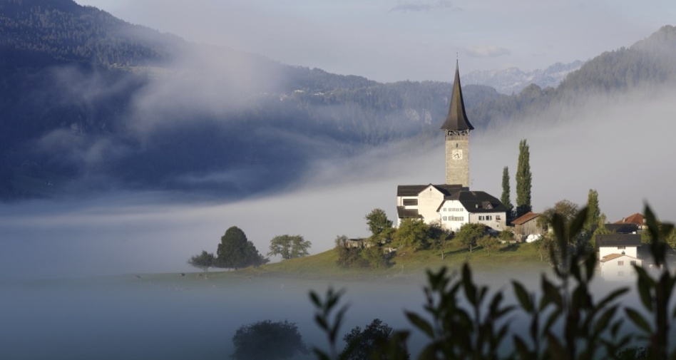
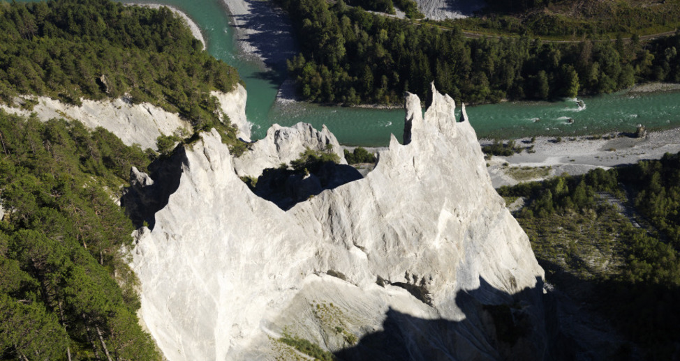
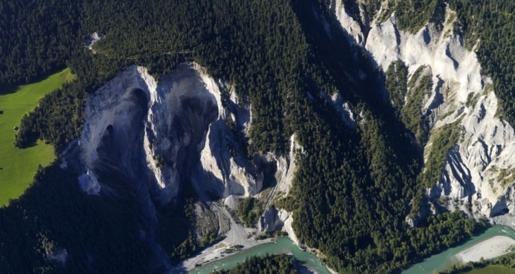
The varied loop starts in Staderas. Through a widely branched network of forest roads, it leads through the Laax large forest to the Tuora viewpoint overlooking the Rhine Gorge.
The route is also very well suited for an e-bike route.
Details
Beschreibung
This varied circular route starts in Staderas. On forest roads, you ride through the large Laax forest to the viewpoint where you can see the Rhine Gorge. You are on the high route, which was used until the late Middle Ages as a transit route to the Bündner Oberland. Passing mountain dairy farms, you go to Foppas, where there is a fire pit. Shortly before Sagogn, you pass the remains of the Schiedberg castle walls. If you want to learn more about the cultural assets of the region, you can read about them in the Platta Pussenta booklet. After a short time you reach Sagogn, then it goes quite steeply up a mountain hiking trail to the main road. After a short stretch along the main road, you return to side roads back to Staderas.
Geheimtipp
Sicherheitshinweis
Watch out for hikers.
Map of snow limits
While there may already be snow at high altitude, the paths in the valley are still clear. Our interactive snow map helps you plan your route. You can see at a glance on www.flims.com/schneesituation where you should already expect snow on the paths and trails, and where you can still drive without cold feet.
Ausrüstung
Repair kit and first aid kit belong in the backpack.
Wegbeschreibung
Anfahrt
Öffentliche Verkehrsmittel
By post bus from Chur towards Flims / Laax.
From Flims with the public Flims Laax Falera shuttle.
Stop: Laax Staderas.
Anreise Information
By car via the A13 motorway from Zurich, towards Laax.
Parken
Parking lot with 22 paid parking spaces at Laax Staderas.

Verantwortlich für diesen Inhalt Flims Laax Falera Management AG.
Dieser Inhalt wurde automatisiert übersetzt.

Diese Webseite nutzt Technologie und Inhalte der Outdooractive Plattform.