Rhine trail 414
9 Bilder anzeigen

Details
Beschreibung
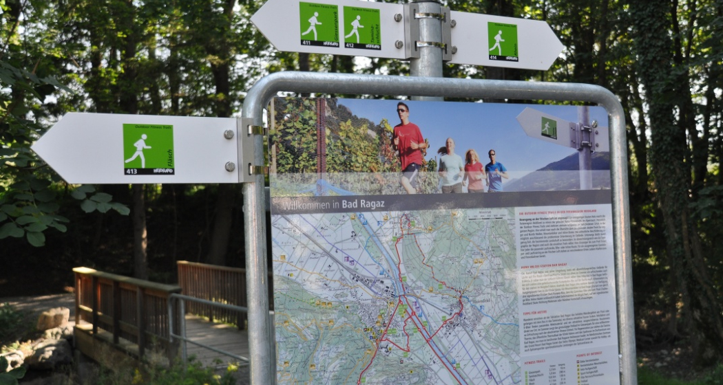
The Outdoor Fitness Trails in the Heidiland vacation region comprise over 30 uniformly signposted running trails from a total of 10 stations, forming one of the largest outdoor fitness parks in the Alps. The Rhine Trail is one of four running trails around the Bad Ragaz station.
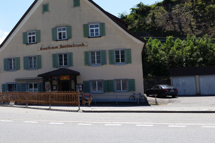
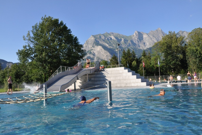
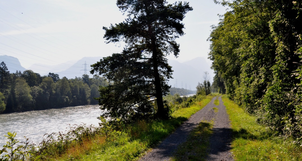
The starting point for this 11.1 km long trail is the info point at the Bad Ragaz station near the Giessenpark outdoor pool (503 m above sea level). For the first few meters, the trail runs along a wide and well-maintained gravel path through the forest to the Rhine. From there, the trail crosses the main road and then runs almost dead straight along the Rhine embankment and the edge of the forest to the Tardis bridge near Landquart (521). As soon as you have crossed the bridge, you head back towards Bad Ragaz on the other side of the Rhine. On this side of the Rhine, the road is firmer and even paved in places, making it very popular with cyclists. As the path is a few meters away from the water, it runs through the middle of a romantic mixed forest. However, the view of the Rhine is never completely blocked! After crossing the main road that connects Bad Ragaz with Maienfeld once again, the trail continues along the embankment to the level crossing at the Heidiland service station (504) The path is somewhat narrower and the forest denser on this section. Once you have crossed the Rhine, there is a short tarred section on the road leading into the village. As soon as you cross the railroad bridge, however, the trail turns back into the forest and you return to the info point at the Giessenpark outdoor pool via the Rhine dam.
Geheimtipp
Sicherheitshinweis
Depending on the weather, some sections may be slippery.
In addition, the highway has to be traversed at one point near Bad Ragaz, so special care is required.
Ausrüstung
Wegbeschreibung
Anfahrt
Öffentliche Verkehrsmittel
Anreise Information
Parken
Verantwortlich für diesen Inhalt Heidiland Tourism Ltd..

Diese Webseite nutzt Technologie und Inhalte der Outdooractive Plattform.
